A mildly challenging trail and an awesome mine
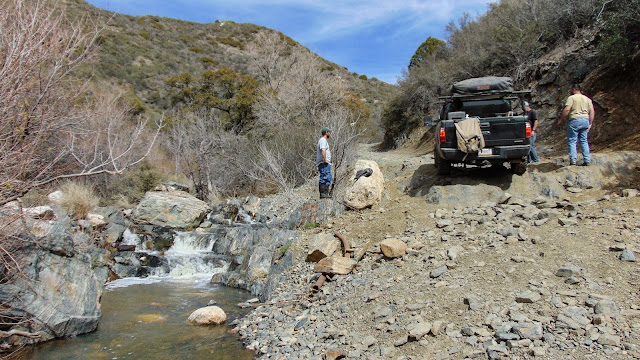
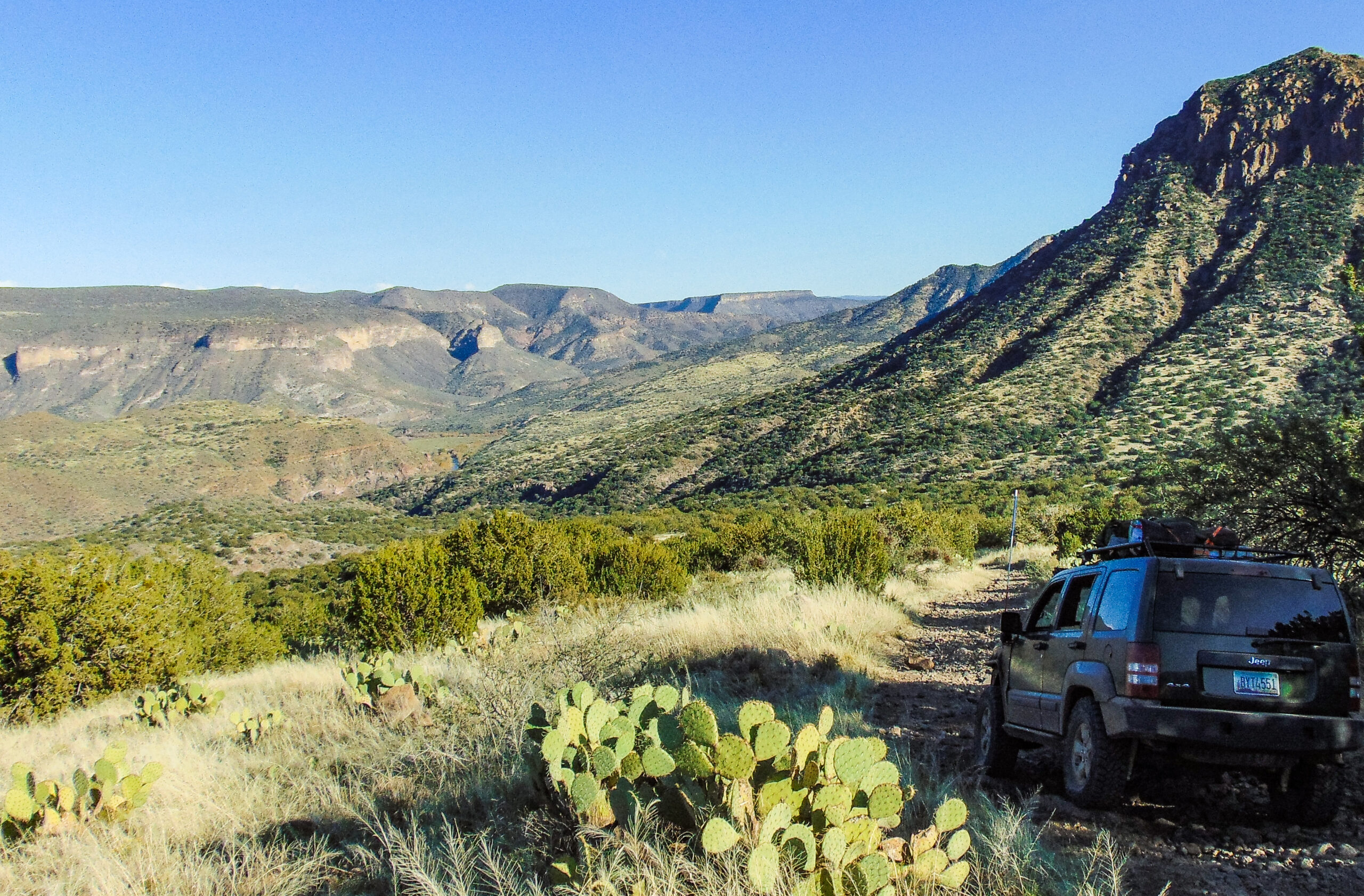
After a good night’s sleep, we woke up to prepare some breakfast and pack up camp. Our camp was located near China Dam, just north of Lake Pleasant along Humbug Creek. There was a good amount of water flowing in the creek. Little did we know, 15 miles upstream Humbug Creek would cause us to pull a winch line. Many in the group were excited to experience the back road to Crown King. With great anticipation, we made our way down Cow Creek Road towards the trailhead. The first stop was the Crown King rock for the iconic flex photo.
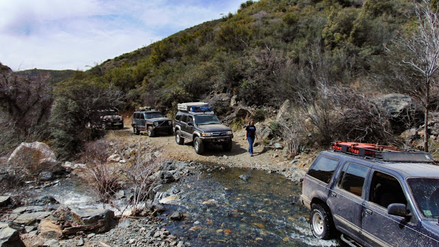
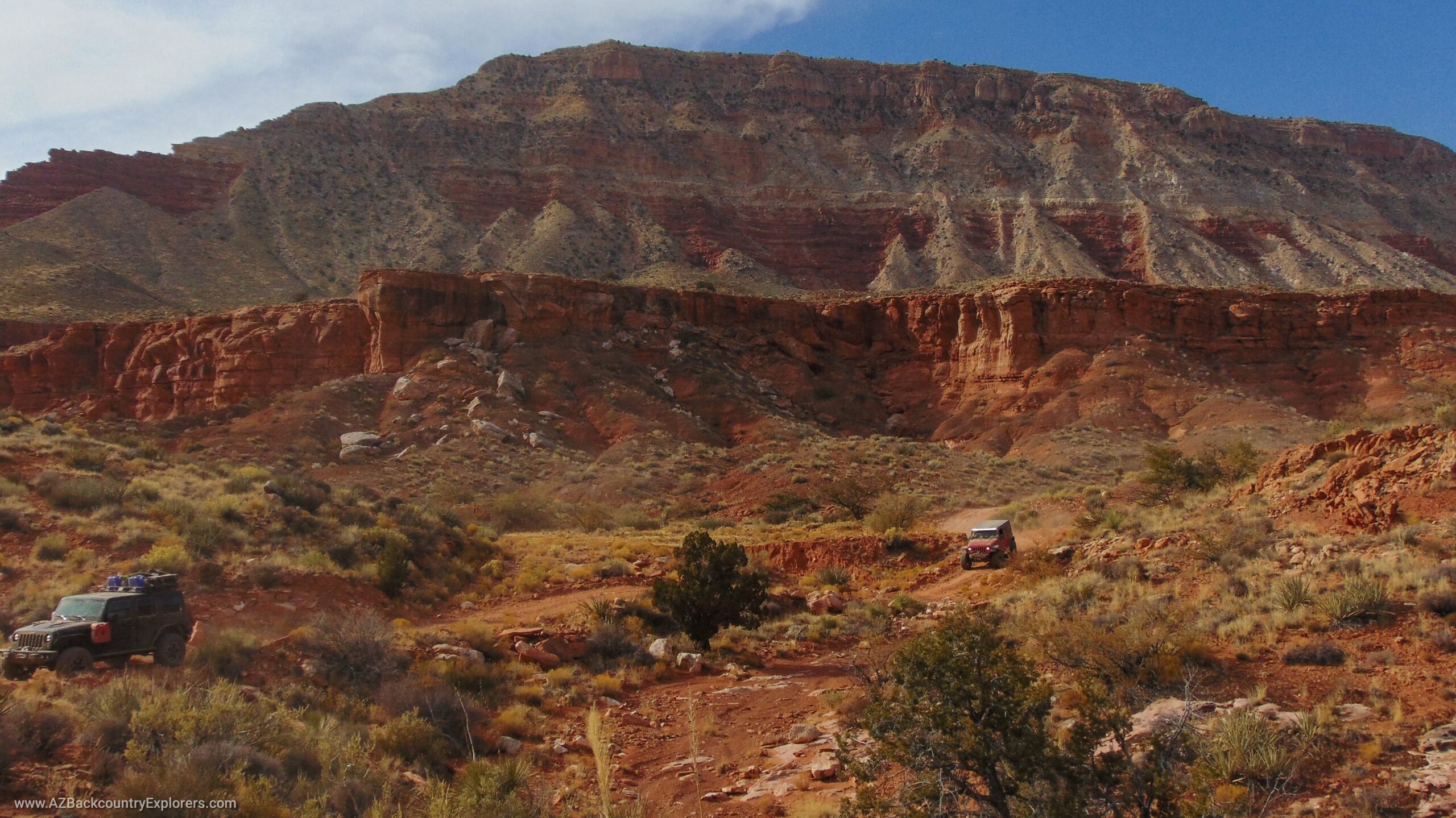
We conquered every obstacle as we climbed higher into the Bradshaw Range. Soon, we reached Burro John and Fort Misery, where we encountered Humbug Creek for the second time. It proved to be a challenge for the little Ford Explorer in the group, as it struggled to maneuver over the slippery rocks. However, with the help of a winch line, we were able to give it a little tug and get it up and over the boulders hidden beneath the water. Despite the challenges, it was a valiant effort for the $400 Ford Explorer.
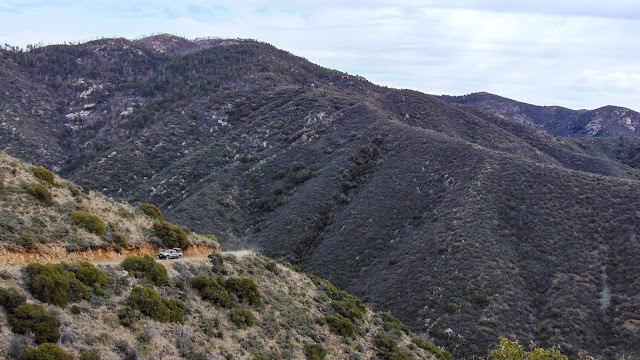
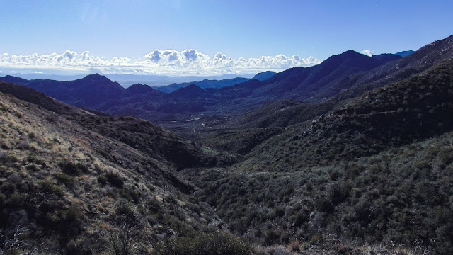
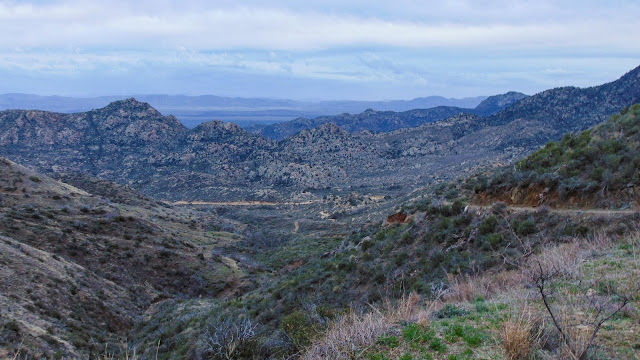
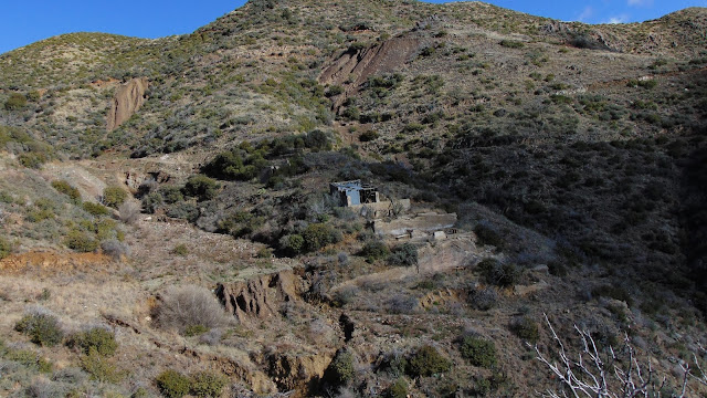
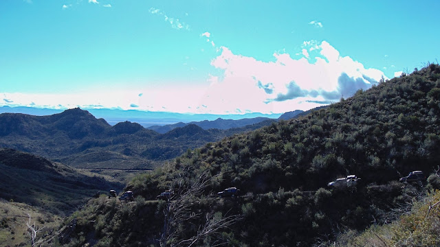
Soon, we passed Castle Rock and the Oro Belle mine, then climbed up the switchback. As we rounded Watson Peak, we got the best views along the trail. From there, you can see Lake Pleasant to the south and Vulture Peak to the southwest. Bradshaw City is just 2 miles ahead, near the end of our route.
Ending at the Senator Highway, we continue east into Crown King. A saloon burger was calling our name, so we paid a visit to the well-known Crown King Saloon. During this time, our Texas visitors admired the old, still-working saloon. The saloon displays numerous photographs of Crown King in its heyday. The campsite for the day was under discussion, and Ryan had a fantastic suggestion.
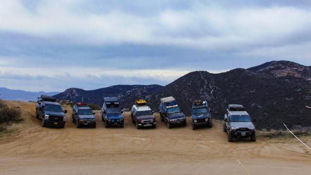
Everyone agreed that the Swastika Mine would be the perfect location for our campsite. The opportunity for exploration was too good to pass up. We set up camp as the sun was setting, and our rooftop tents emerged like a well-rehearsed performance by a group of adventurous thrill-seekers.
A short but fun mine exploration
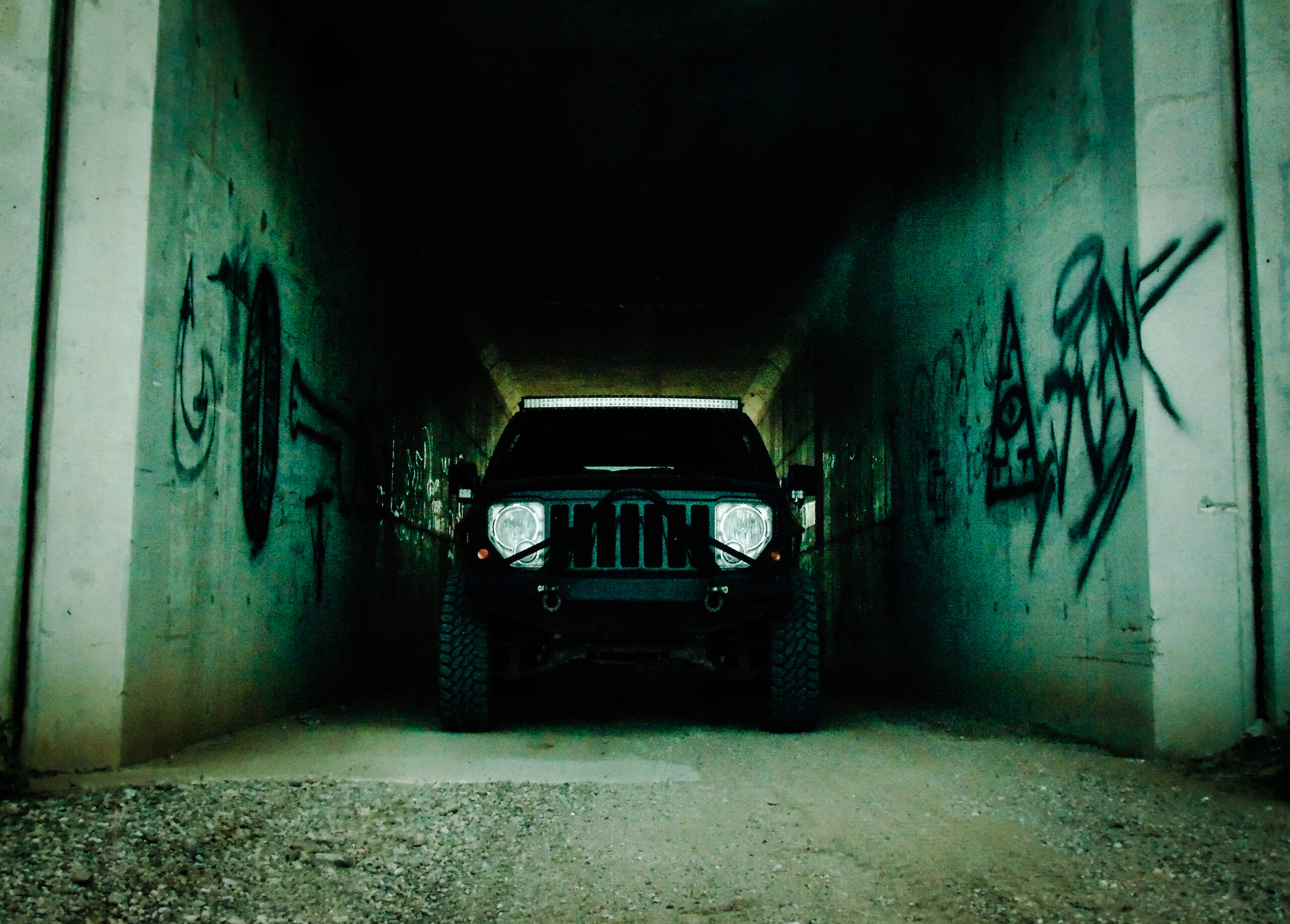
With flashlights in hand, we set off towards the adit. Ryan led the way, and we followed him deep into the mountain. Coming to a fork, we chose to go left towards a huge stope. Huge timbers spanned the width of the stope, secured by large wooden wedges. Smaller planks created a bridge that spanned the length to a tunnel continuing on the other side. It was an eerie feeling, stepping outside of my comfort zone as I navigated the bridge, which was secured high above the bottom of the stope. After reaching a larger platform at the halfway point, I decided that enough was enough and turned back to join the group.
Nearly two hours pass before we head back to camp. The night then comes to an end, ready for day five.