
To view fire restrictions and wildfires
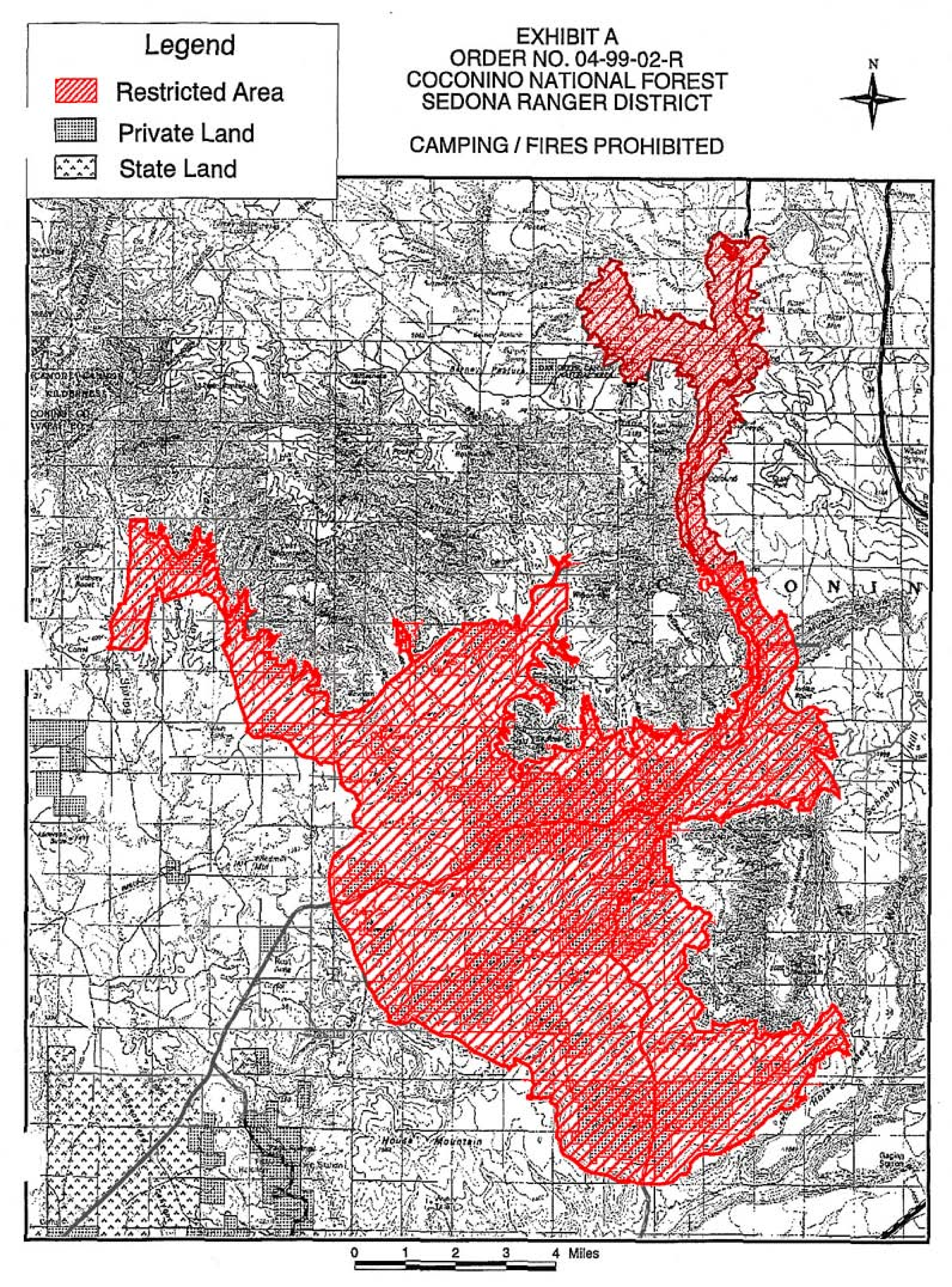
Use the following map to view all current and upcoming forest orders in Arizona and New Mexico. This data is provided directly from the USGS and is publicly available.
Choose a polygon on the map to find additional information on each forest order including a link to the current documents from the USFS.
This map will automatically update as the USFS initiates forest orders.