
An essential tool in the Arizona Backcountry
I’m a huge fan of the Backcountry Navigator apps. It’s got to be one of the best GPS programs available. I’ll be honest, I’ve never used anything else. Having a GPS is essential for many reasons. Knowing what type of land your on will help you understand what rules need to be followed.
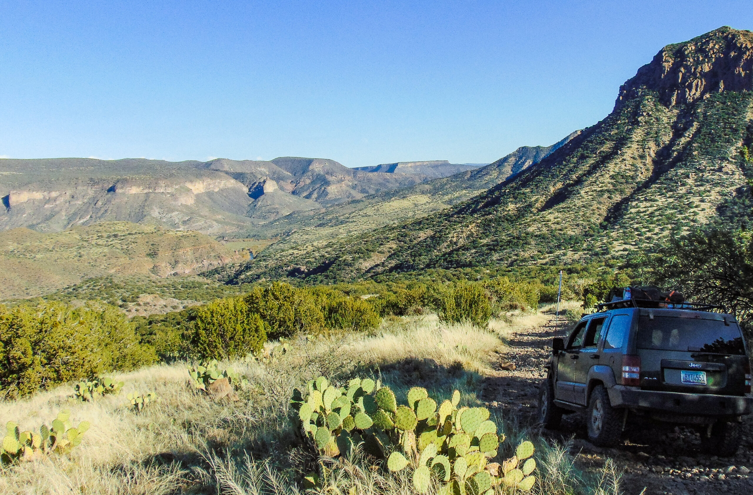
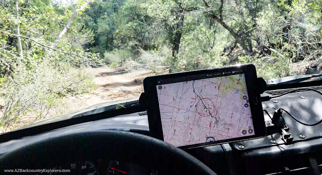
After fooling around with Backcountry Navigator Pro for about two years, I won’t even consider any other program. It does exactly what I need and then some. After purchasing the app, I went out and got an Android tablet A. Using the app on a tablet provides better visibility, and you can see more areas on the map. With the tablet secured to my suction cup windshield mount, it serves as a great GPS unit.
I also have the app installed on my smartphone as a backup if my tablet gets lost, broken, or stolen. Plus, a smartphone is a much more compact set up for a backpacking or hiking adventure. I’m able to plan, prepare, and execute my adventures using Backcountry Navigator Pro.
Map sources
There are various base maps to choose from. You can also add custom base maps by using the documentation on their website. Maps are available worldwide. Integrated map sources include Topographical, Imagery, Marine, and Aviation maps.
These categories include Caltopo, AccuTerra, USGS, ArcGIS, USTopo, US Forest Service, National Map Imagery, Virtual Earth, MapQuest, ENC Online, NOAA RNC, as well as several hybrid maps.
Map overlays
You can add your custom overlays, or you can purchase one from Backcountry Navigator Pro. The overlays are quite exciting and become very helpful. I use the BLM land boundary overlay every time I’m on the trail, looking for a campsite, or planning a route. Available map overlays that I use every weekend include the following…
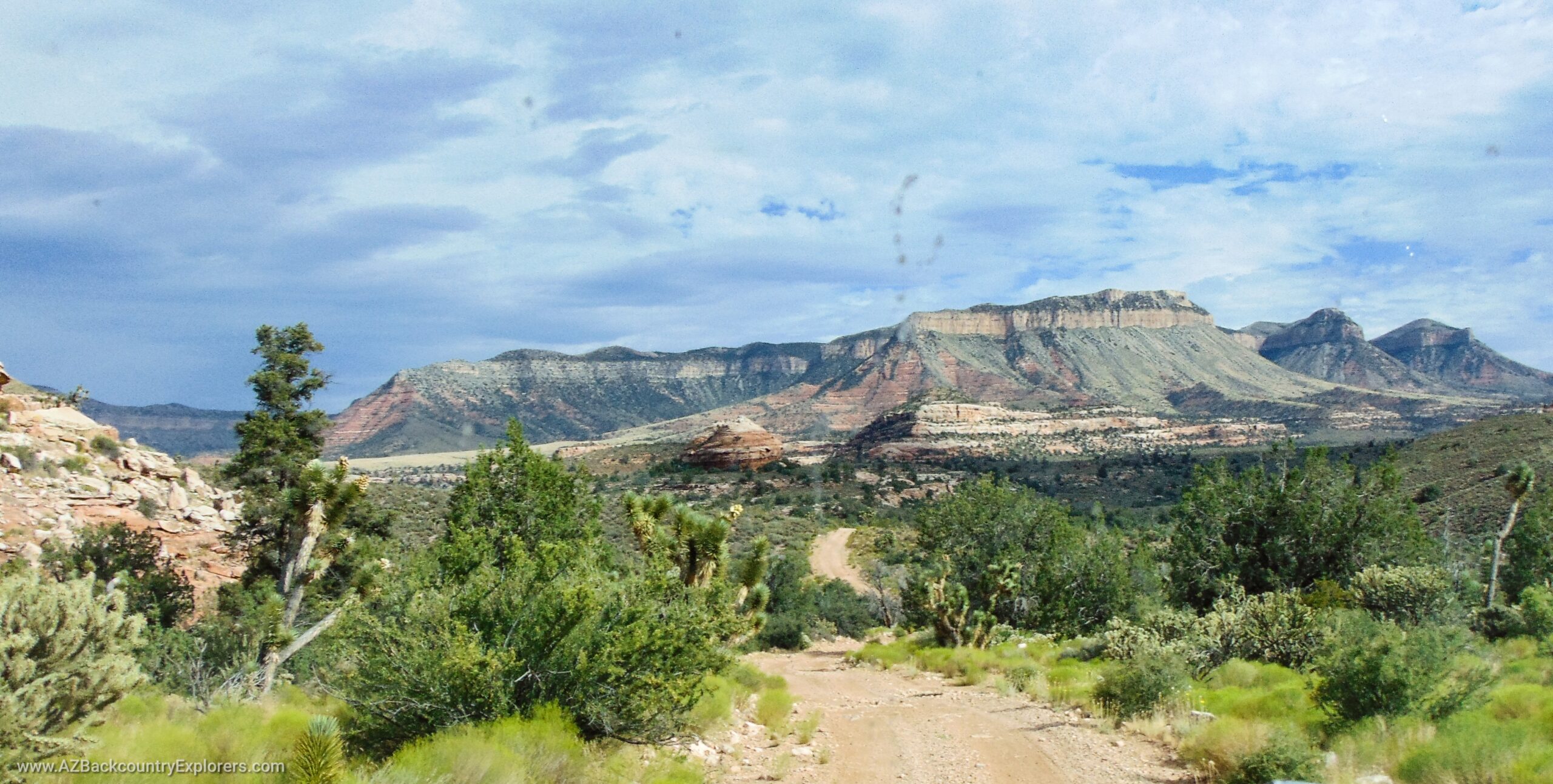
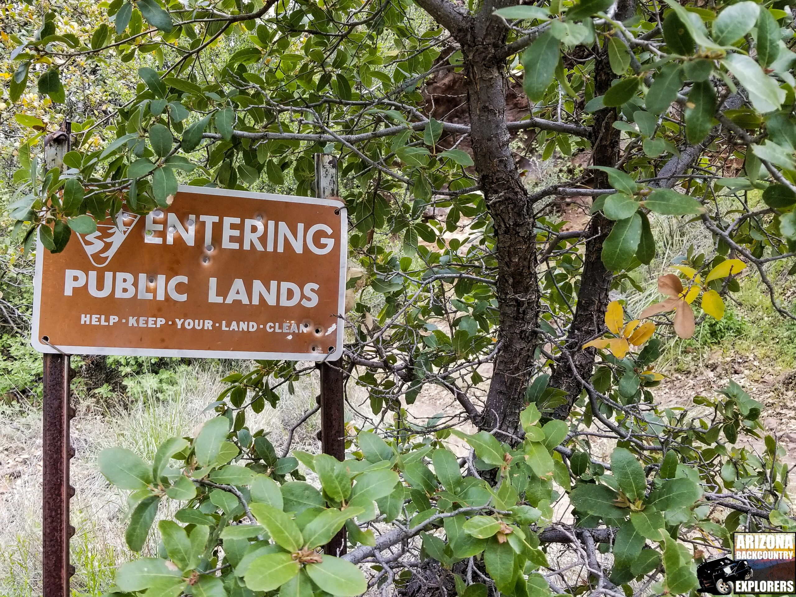
Land boundaries overlay shows boundaries of private, state, BLM, USFS, Indian, and other land management. Wildlife refuges, national parks, and state parks are also included. Available by state.
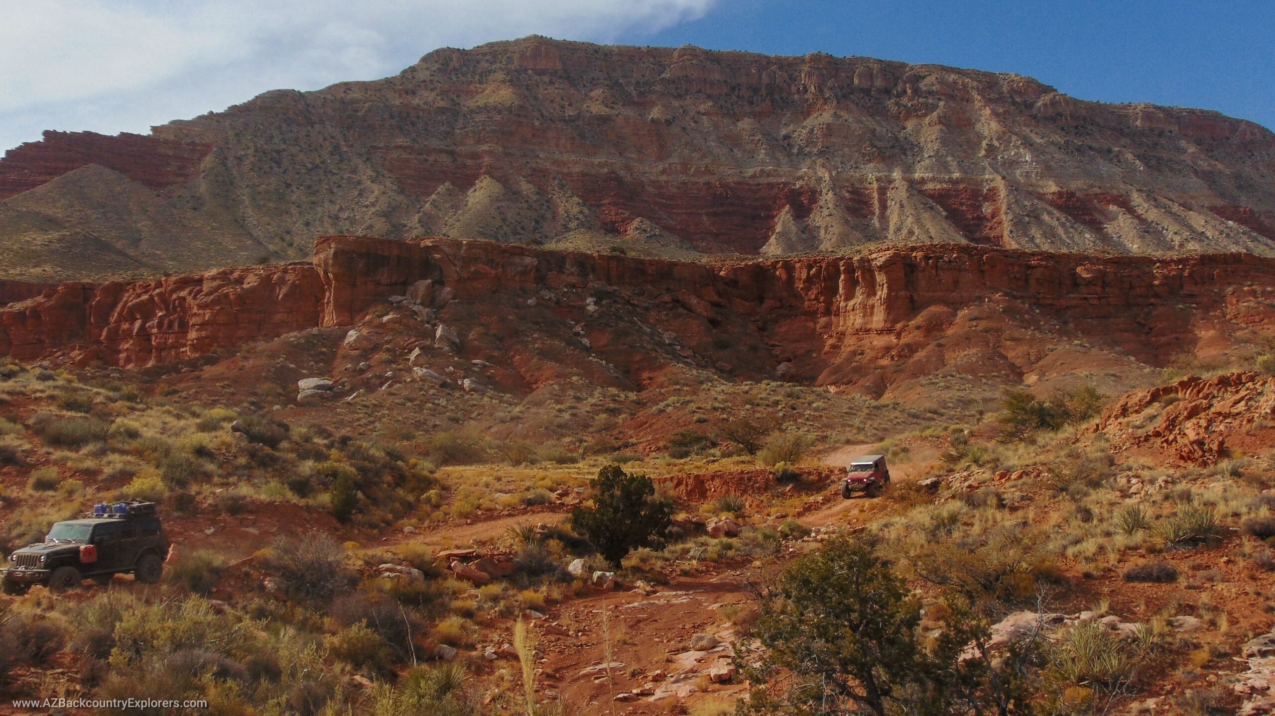
Fun Treks Trails overlay shows all GPS tracks related to the Funtreks 4×4 Trail books. If you have the book, then you defiantly need the trail tracks.
USFS motor vehicle use map overlay shows all current motor vehicle use maps in the US. It’s your standard MVUM provided directly from USFS.
Offline use
One of the main concerns in the Arizona backcountry is being able to use your GPS offline. Backcountry Navigator allows downloads of a selected area on the map. This is where the app can get a little tricky.
It’s best to save each downloaded in a separate map folder unless two downloads are in the same geographic area. You can choose any available map source to download. To view your downloaded map, you must select your map layer. You can choose from online, cached, saved map folder, or pre-built map. If you saved your download in a map folder, you will find your map under the corresponding map folder.
Pre-built maps
The thing that I love about Backcountry Navigator is the ability to import pre-built Maps. There are a lot of Open Source maps available from various organizations. One that is readily available and highly recommended is the Open Andro Maps.
Backcountry Navigator links to open Andro Maps and makes importing seamless. The pre-built maps are installed into your phone and do not require an internet connection or map download. These maps use a lot of space on your phone. An SD card is highly recommended to store the map tiles and data.
Cheaper than the competition
The thing that sets Backcountry Navigator apart from the rest is the price. You can purchase the app in the Google Play store for only $24. Combined with a Samsung Tab A, 128-gigabyte micro SD card, CalTopo subscription, and map overlays, I spent around $140.
The app can be installed on multiple devices with only one membership. It’s connected to your Google Play account and can be installed on any device that contains your Google account.
Other cool features
Import and export – Import or export tracks or waypoints as GPX, KML, KMZ along with all recorded GPS data. Effectively serves as a GPS file converter.
Tracks and waypoints – Attach photos or record audio for each waypoint—view graphs based on the elevation and speed of each GPS track. Records moving time, total time, distance, average moving speed, max speed, altitude gain, maximum/ minimum altitude, maximum/ minimum grade, and area covered.
Coordinate formats – Use various coordinate formats including DDD.DDDDD, DDD MM.MMMMM, DDD MM SS.SSSSS, UTM, MGRS, OSRef (Numeric), OSRef (6 Figure), OSRef (XX EEEEE NNNNN) and NZTM2000.
Search for locations – Use the search bar to find mountain peaks, towns, rivers, and many other places.
Backup and restore – Automatically save all your data to Dropbox or Google drive.
Compass – A very accurate compass is included in the app.
Screenshots – Easily take screenshots inside the app and print or share them with your friends. Use your phone’s “print to PDF” option to render a .PDF file.
Search for trails – Use GPSies Trips to find and download new trails right in the app.
Not very user-friendly
The only downfall to Backcountry Navigator. It’s not very user-friendly. This almost made me consider something else. Things are kind of all over the place, unorganized and hard to understand. To select a waypoint or track, you must center the object on the cross in the middle of your screen and press a separate button. Not to mention, Backcountry Navigator Pro is not available for iPhone.
Although it’s a little confusing and takes multiple steps to complete a task, the developers did a great job with the “help” section. The documentation is detailed, straight to the point, and gives step by step direction.
The solution to it all – Backcountry Navigator XE
If you haven’t heard, Backcountry Navigator XE has been released! The app is still in development and includes all the features in the original Backcountry Navigator Pro, and then some. It is a user-friendly, seamless app that provides many additional features. I believe it’s going to be a game-changer in the GPS world.
Oh, and did I mention it’s available for iPhone! iPhone users can now acquire the Backcountry Navigator XE app through TestFlight. The app is open for early access to anyone. The developers are asking for our opinions and suggestions to improve the app before the final version is released.
The price of this app is a little steep. However, it’s still less than the competition.