Description
The new 4×4 route to Crown King, Arizona
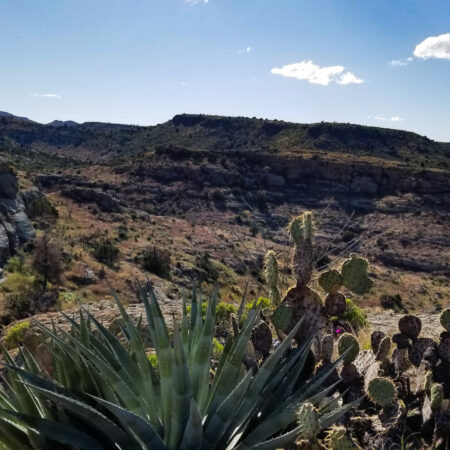
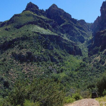
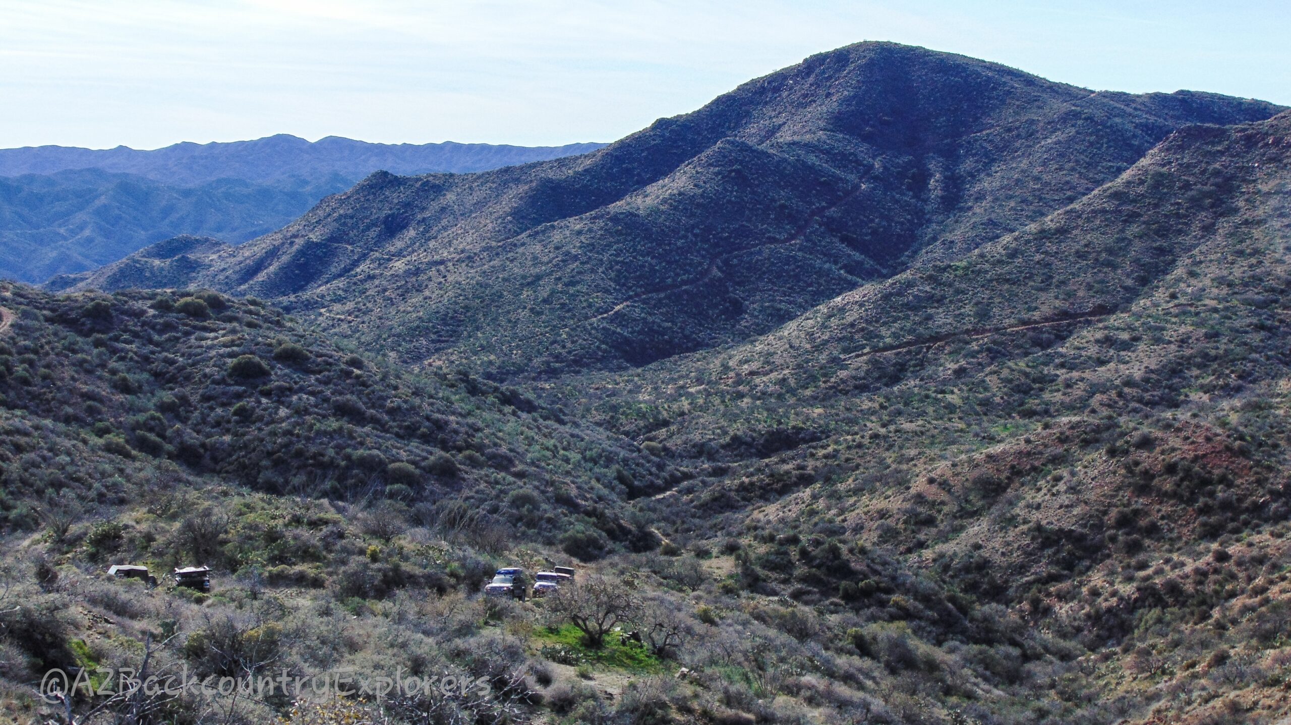
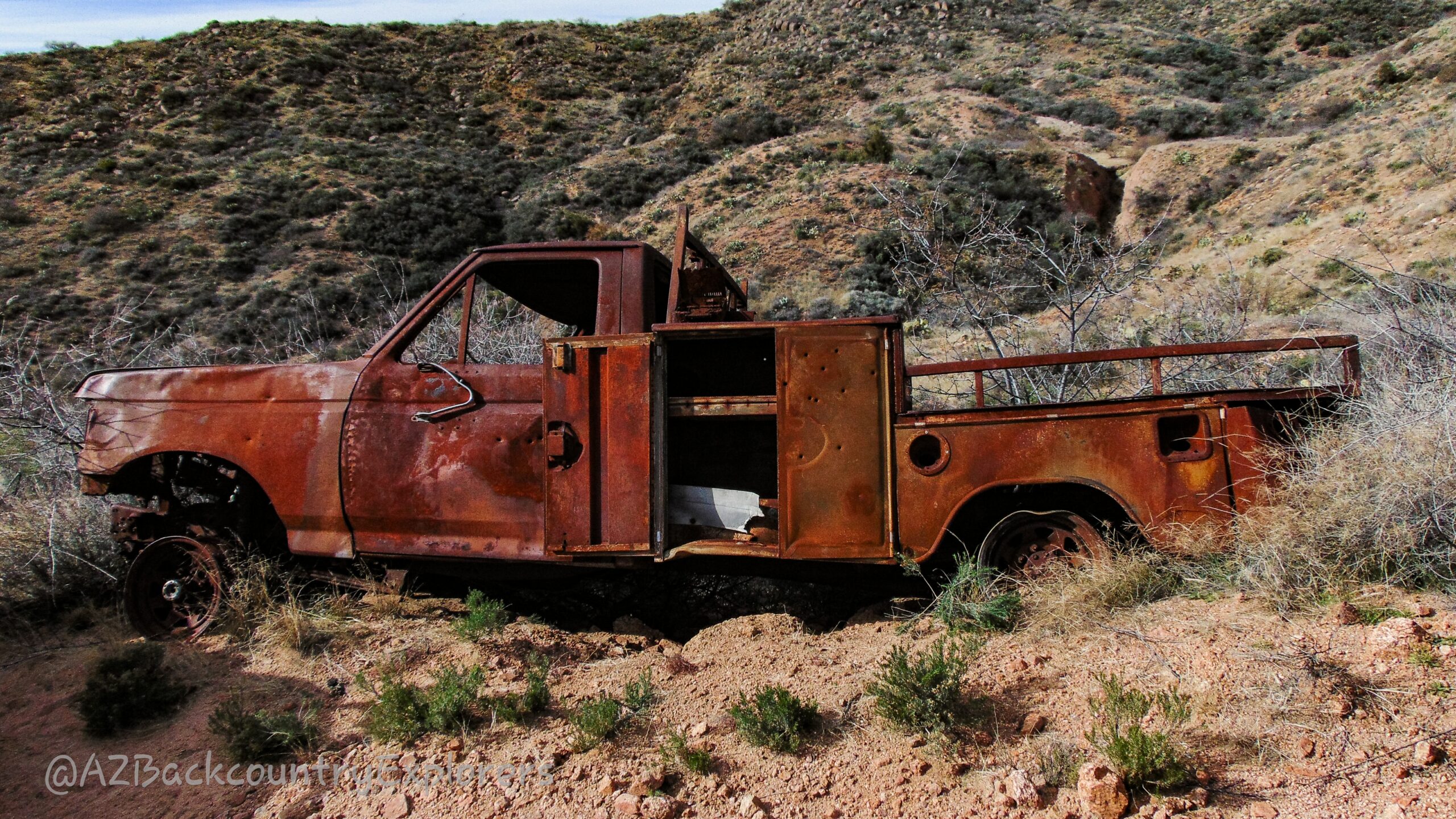
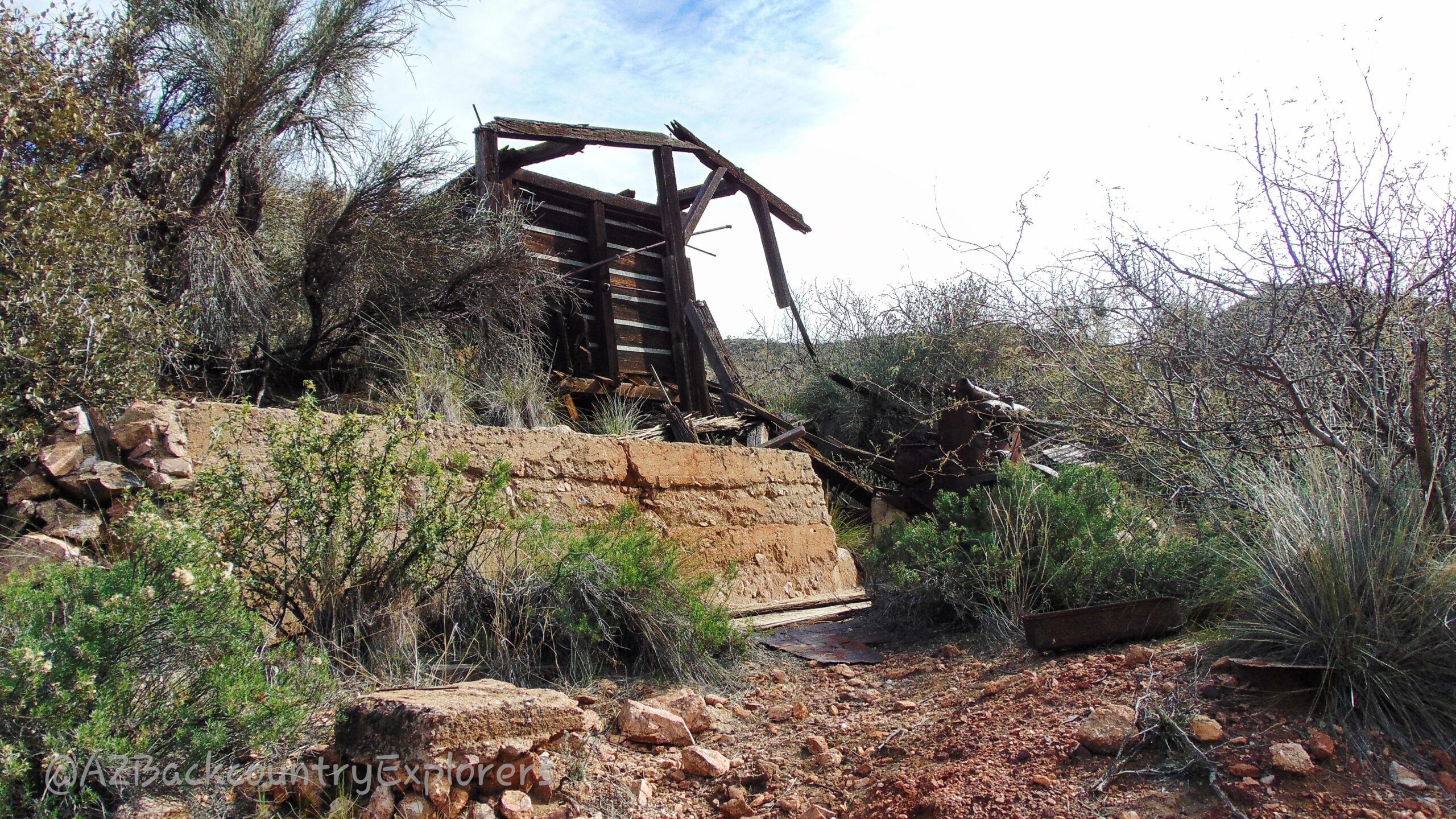
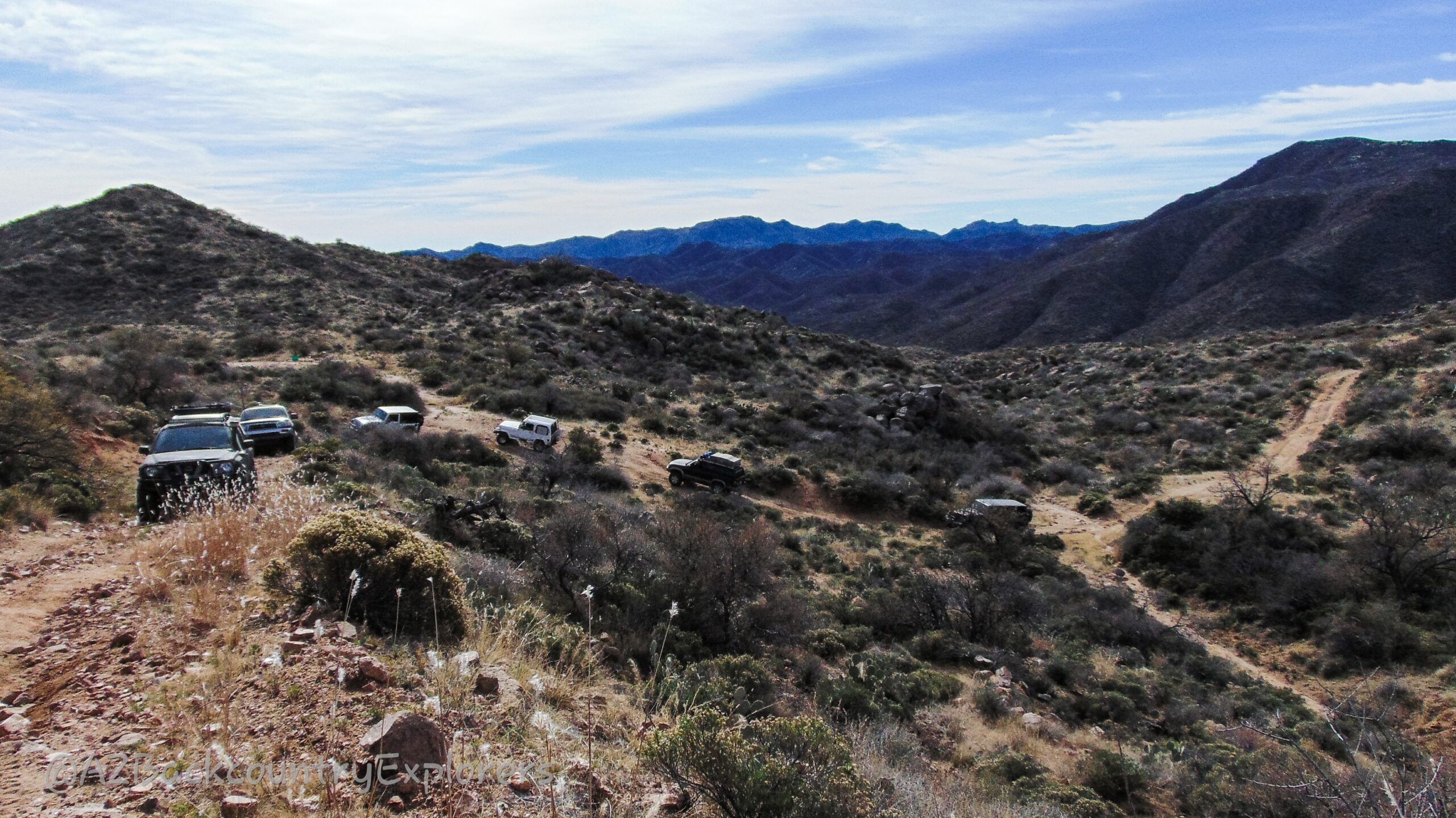
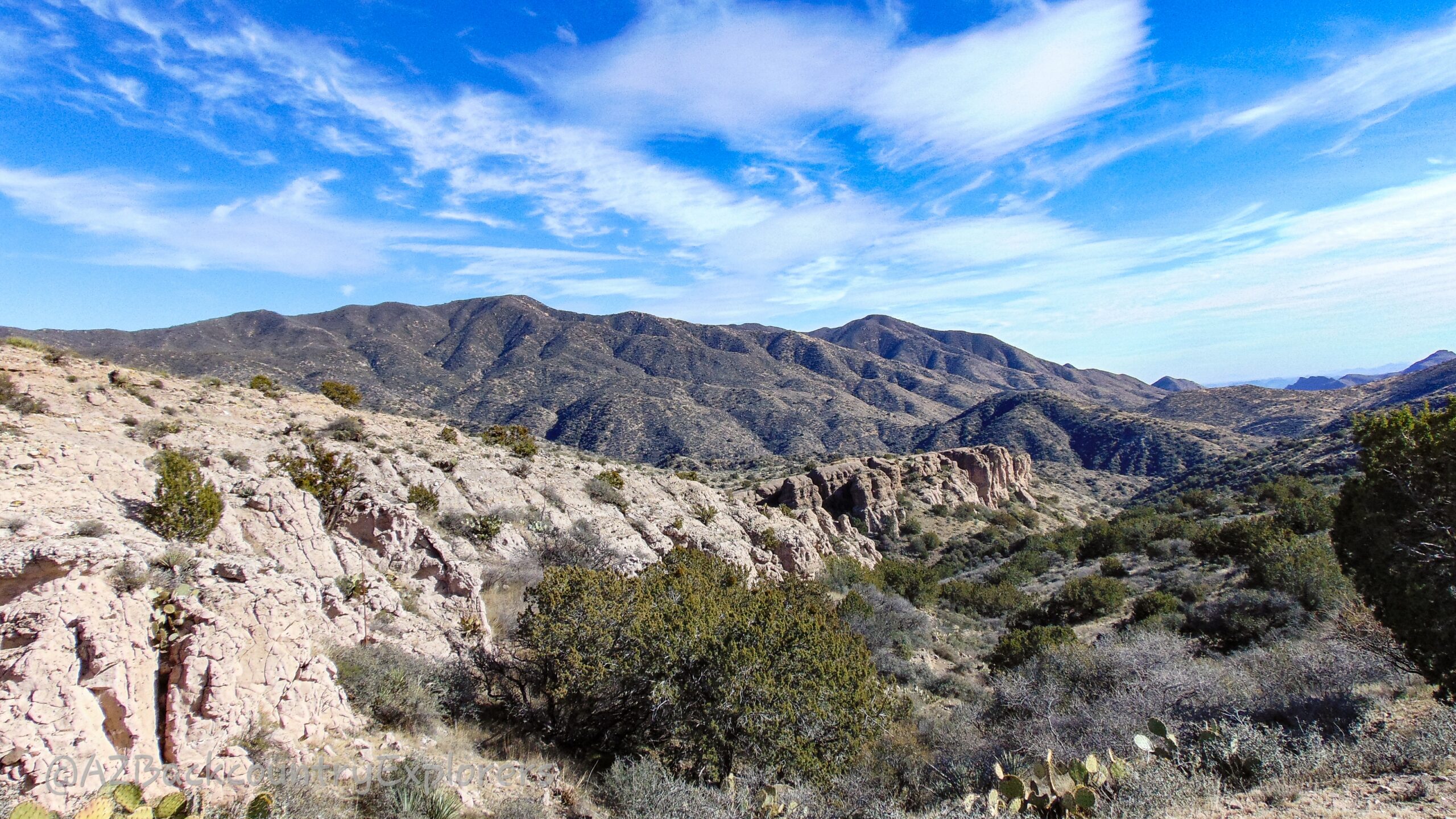
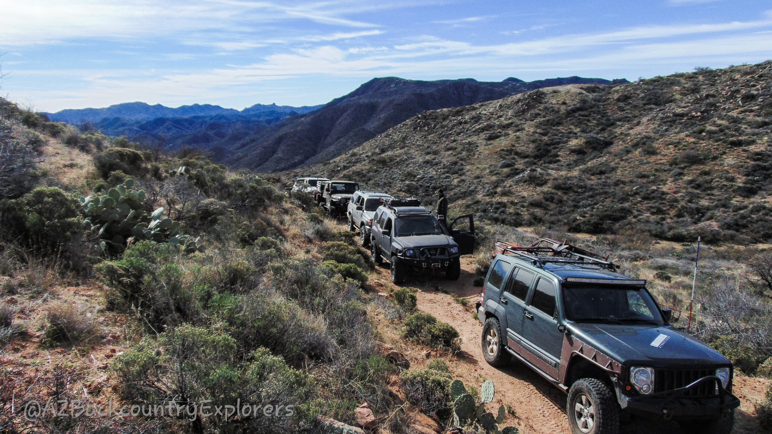
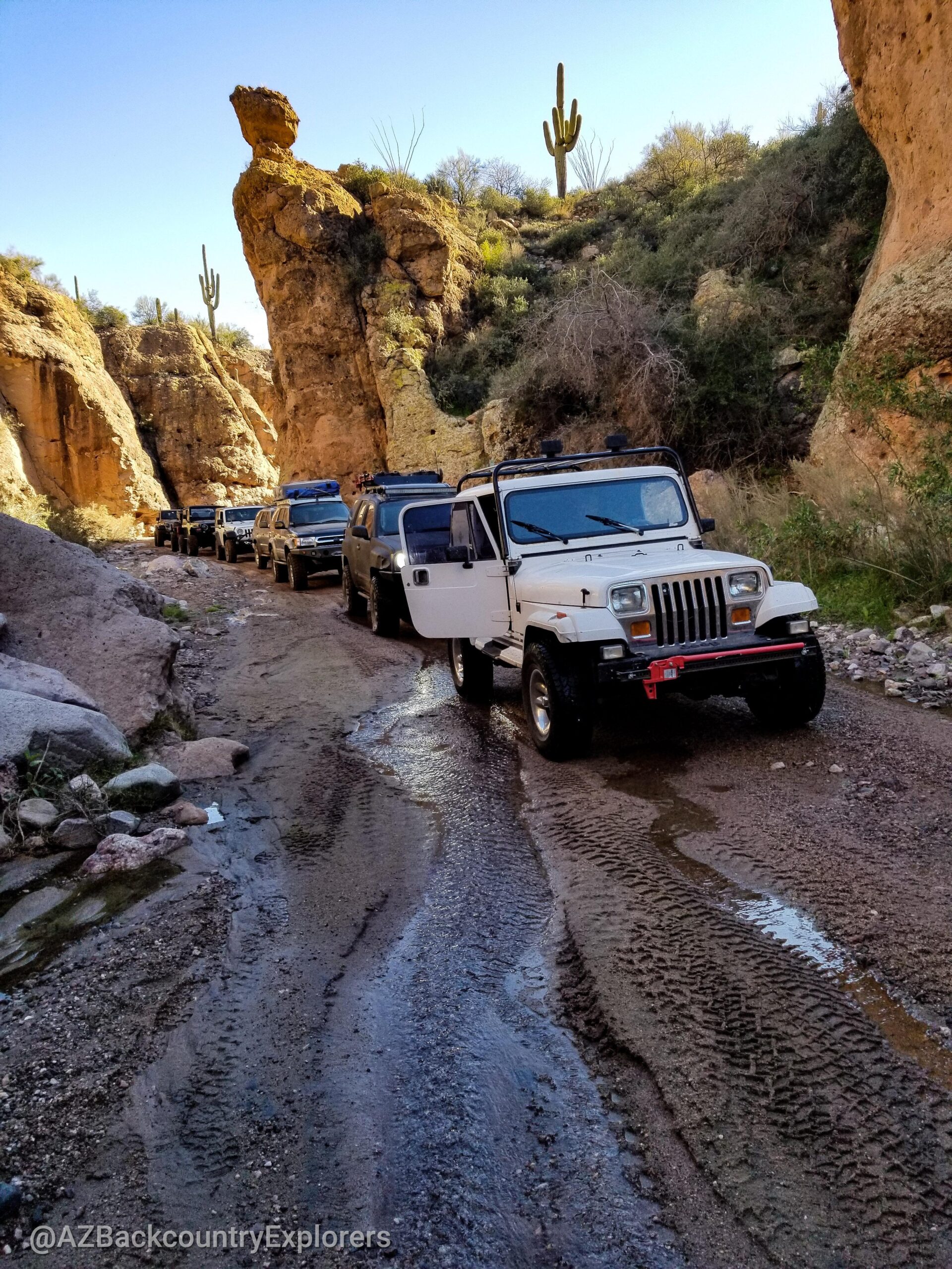
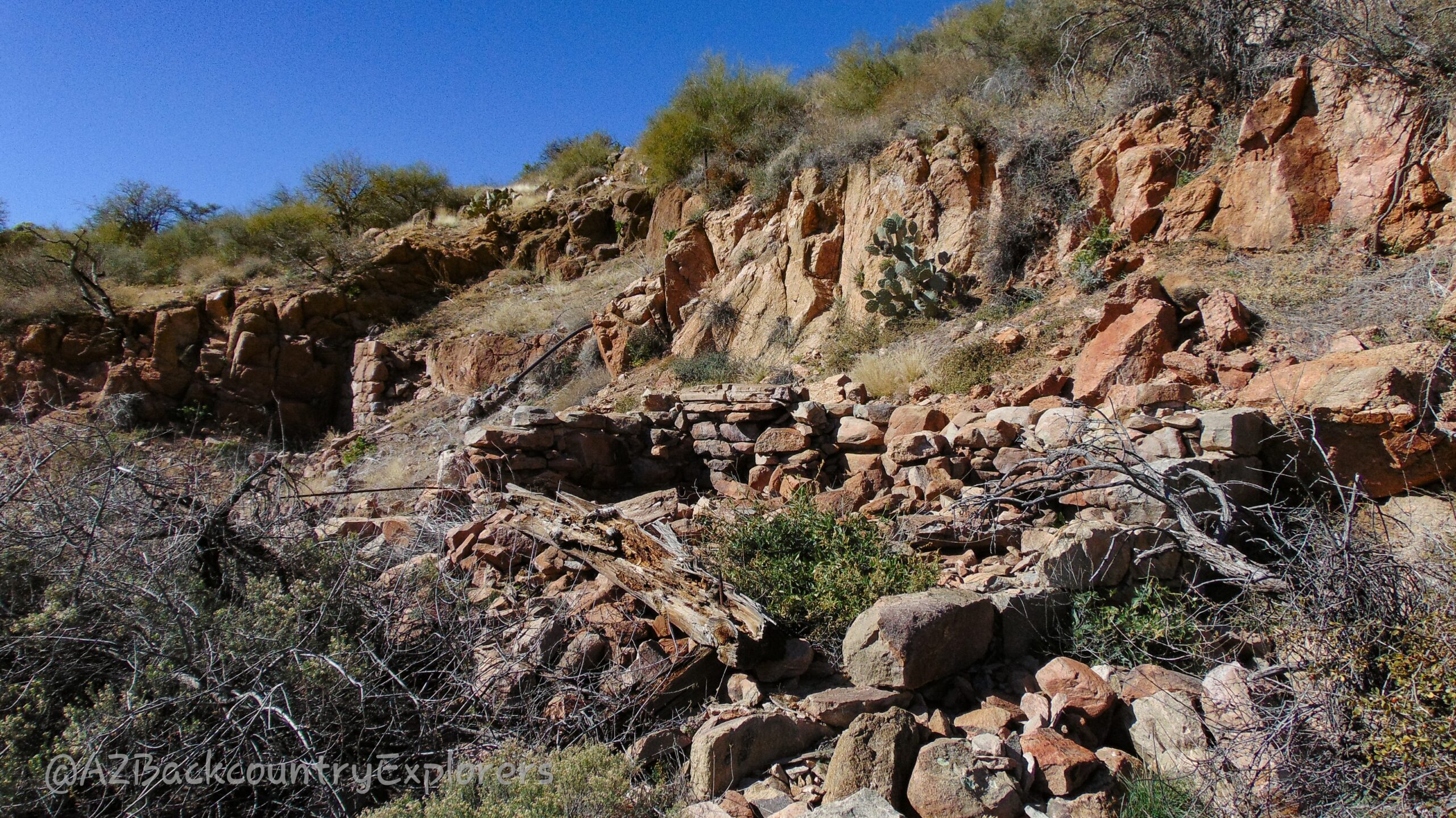
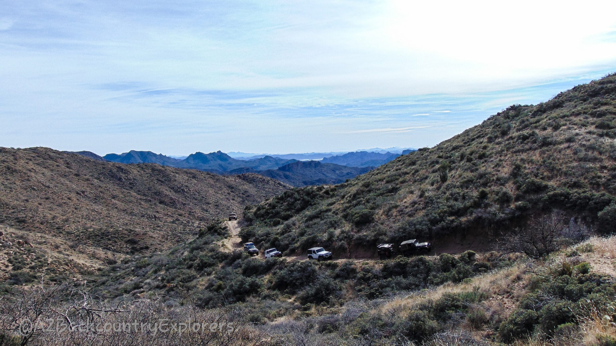
A precursor to the well known Crown King 4×4 trail, the Boulder Pass Trail is a lesser know and equally as challenging 4×4 route spanning from Morristown to Mayer, Arizona. Along the route, you will navigate through various types of terrain, including deep sand, water crossings, steep grades, rock gardens, and off-camber washouts. As you make your way to one of several destinations along the route, you and your 4×4 vehicle will be put to the test, encountering boulders up to 12 inches in diameter, making body damage and vehicle failure a potential risks.
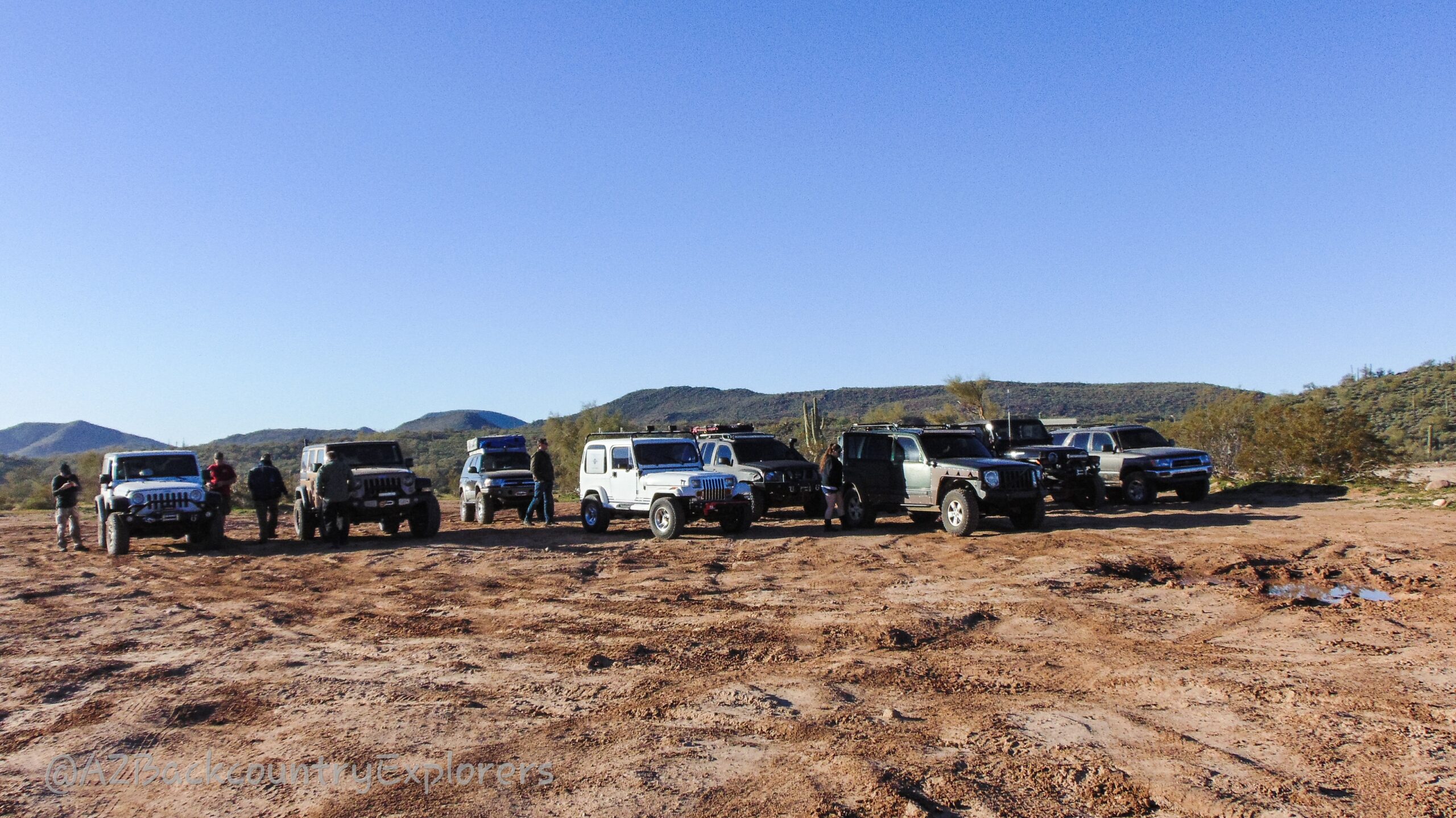
Don’t go alone and come prepared with a well-equipped vehicle and necessary recovery equipment.
It’s important to note that the Boulder Pass Trail is recommended for experienced motorized users. To safely navigate this trail, you’ll need at least a 2-inch lift, 33-inch tires, and one locker. Additionally, it’s highly advisable to bring more then one motorized vehicle, as this route contains technical obstacles that should not be attempted alone.
A State Trust Land permit is recommended.
Preview the Adventure
Download includes GPX and KML files that are compatible with most GPS devices. Refer to the manufacturers instructions for uploading track and point files.