Kingman Travel Management Plan Environmental Assessment Released: Public Commenting Now Open!
The Bureau of Land Management (BLM) wants to hear from you! They are inviting feedback from those who use these trails, providing the public an opportunity to voice their opinions. Inside this page, you will find detailed documents regarding studies and other essential information about the Kingman Travel Management Plan. The Environmental Assessment has been released, and the BLM is requesting comments from the public.
Voice Your Opinion on the Kingman Travel Management Plan
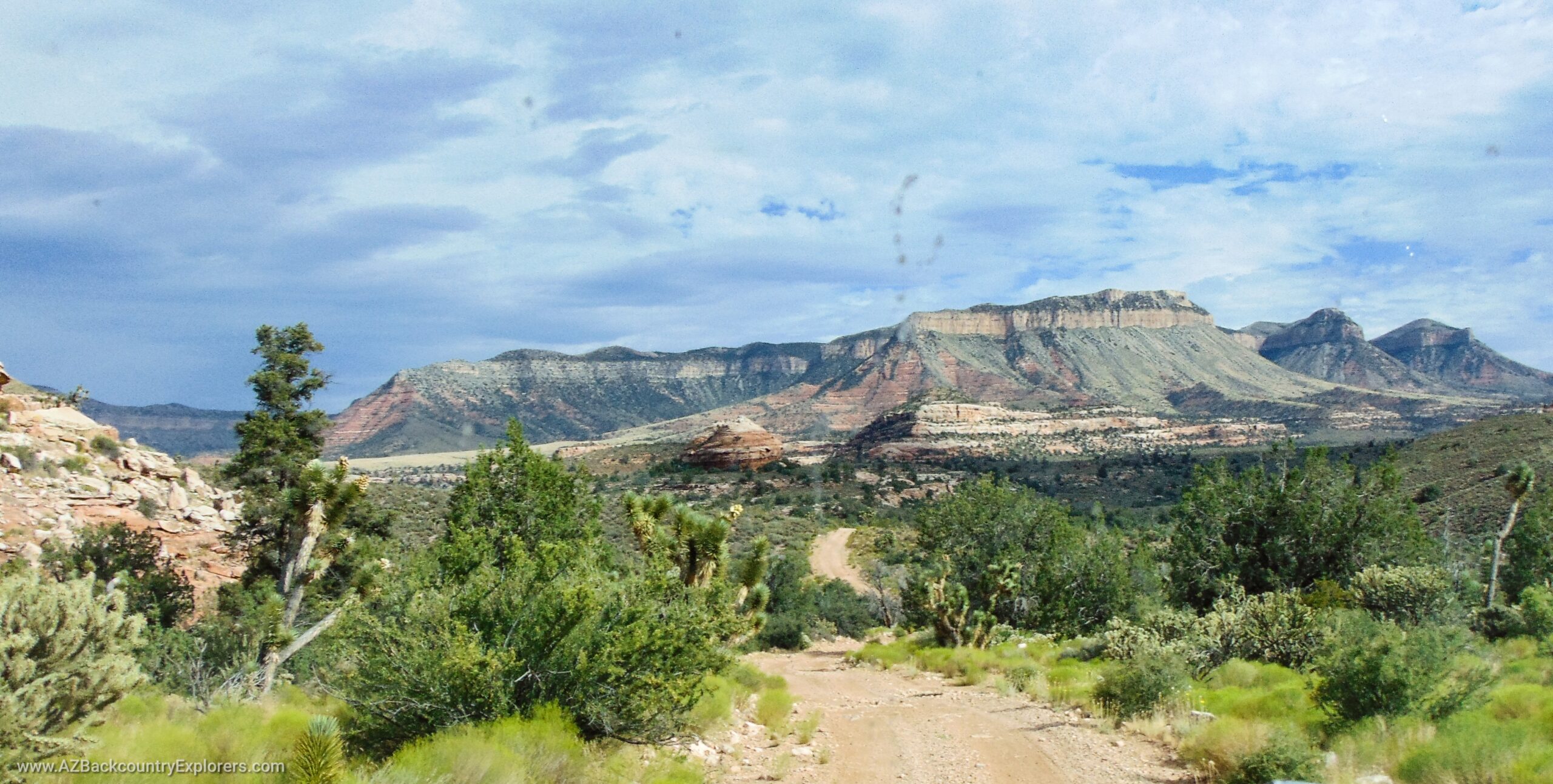
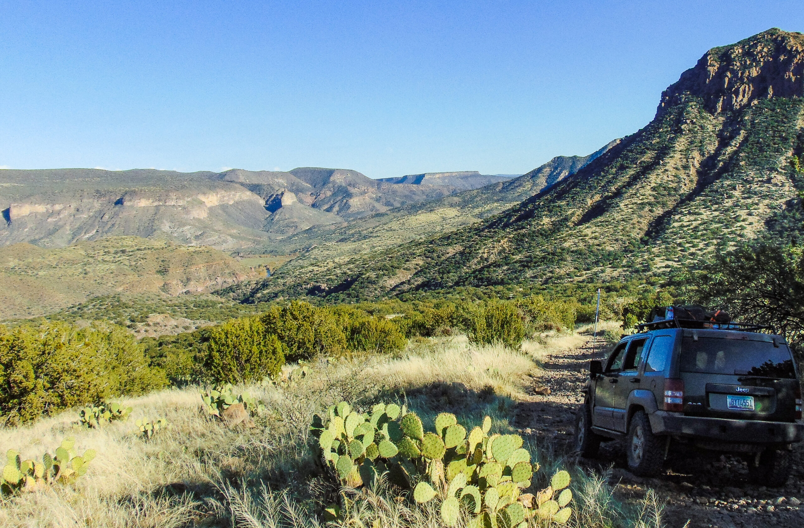
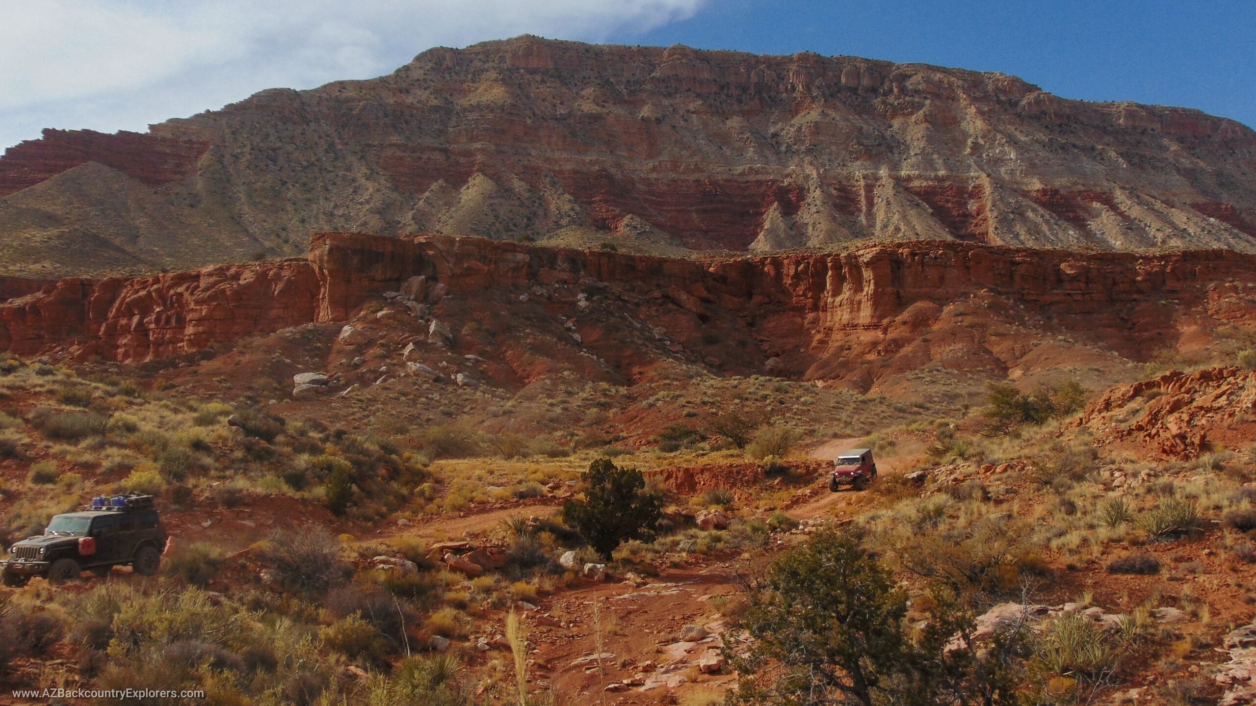
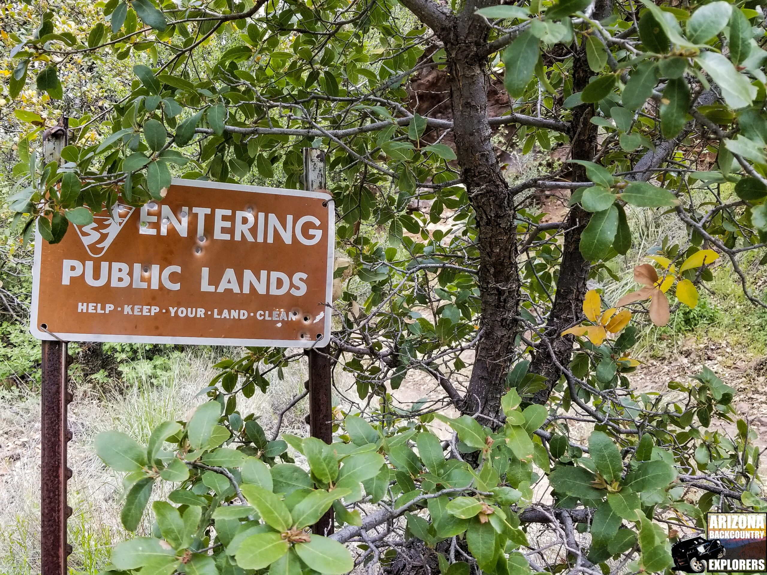
We encourage you to respectfully contact the Bureau of Land Management and express your opinion about these two travel management plans. Without public input, ranchers, prospectors, fishermen, off-road enthusiasts, hunters, mountain bikers, photographers, the handicapped, and many others will lose access to our public lands and the places we cherish most. The BLM is proposing to close dirt trails on our public lands to motorized access, preventing access to many areas relied upon by outdoor enthusiasts, local ranchers, and others. It doesn’t matter what your outdoor activity of choice is—or if you simply enjoy seeing photos of our beautiful landscapes—this will affect you!
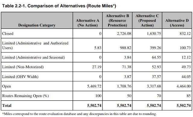
The BLM’s Proposal: 30% Motorized Access Closure
The Bureau of Land Management, along with the US Forest Service, is mandated to create travel networks and designate certain trails for travel while limiting or closing others. The BLM is recommending a 30% closure to all motorized access. Very few trails will be designated for equestrian use, hiking, and mountain biking, while others will be closed altogether.
Why Public Input Matters
The Bureau of Land Management is required by law to give the public an opportunity to voice their opinions. Your input is vital and will influence the outcome of the BLM’s travel management plans. Please take the time to review the links below and submit your comments via email or the U.S. Postal Service. Contact information is included in each of the links provided.
House Joint Resolution 44: A Key Development
A recent development, House Joint Resolution 44, has significantly reduced BLM’s executive powers, returning many of these to the states and the people!
Current Proposed Arizona Road Closures by BLM and What You Can Do
The BLM’s proposed changes threaten roads currently accessible to miners, hikers, campers, hunters, and off-roaders. These changes would restrict access to public lands.
RS2477 (Revised Statute 2477) is part of the original 1872 mining grant. It mandates that roads and travel routes remain open for exploration, mining, and public use. In 1976, Congress passed the Federal Lands Policy Management Act (FLPMA), allowing them to close roads at their discretion. However, roads created before 1976 are protected under RS2477.
Arizona’s Legislative Stand on Road Closures
Just two years ago, Utah’s Supreme Court ruled that RS2477 is valid, requiring roads to remain open for public use and mining. Arizona, taking a step further, passed a bill to ensure these roads remain open despite the BLM’s attempt to close them. Arizona House Bill 2175, signed into law in April 2015, prohibits the closure of roads under RS2477.
Unfortunately, the BLM is disregarding this bill and proposing road closures anyway.
How Arizona Residents Can Respond
What should the people of Arizona do? Reach out to the sponsors of HB2175—the bill that protects Arizona’s public roads—and ask what actions they will take to defend the law. Politicians in Arizona will likely be upset that the BLM is ignoring state laws.
Sponsors of HB2175:
- Rep. Mark Finchem, District 11: (602) 926-3122
- Rep. Bob Thorpe, District 6: (602) 926-5219
- Rep. Brenda Barton, District 6: (602) 926-4129
- Senator Sonny Borelli, District 5: (602) 926-5051
- Rep. Regina Cobb, District 5: (602) 926-3126
- Rep. Vince Leach, District 11: (602) 926-3106
- Senator Steve Smith, District 11: (602) 926-5685
The Arizona Attorney General reaffirms that these roads will remain open. This statement is a powerful legal defense for public road access in Arizona.
Environmental Assessment for the Kingman Travel Management Plan
The Environmental Assessment document for the Kingman Travel Management Plan is publicly available for download in the E-Planning portal under the “documents” section. This assessment outlines the current impact of off-highway vehicle (OHV) activity on the environment and shows the expected reduced impact after the implementation of the travel management plan. It is crucial to read the Environmental Assessment before submitting your comments.
E-Planning Portal: Explore the Kingman Travel Management Plan
The Kingman Travel Management Plan documents, including the Environmental Assessment, maps, and contact information, are available in the BLM’s E-Planning portal. This portal provides access to the latest updates on the plan.
Comment Map: Visualize and Submit Your Feedback
The comment map highlights the trails and the proposed actions. Trails marked in green will remain open, red trails will be closed, and purple trails will have limited access. You can select a trail and submit comments directly. Use the map to express your opinion on which trails should remain open.
Comment Submission Form
The online form allows you to submit comments on the Environmental Assessment directly to the BLM. Be sure to include the relevant chapter and section of the document your comment refers to. You can attach supporting documents and additional comments as needed. Please keep your comments respectful, professional, and concise.
Review the Travel Management Plan
It is essential to thoroughly review the Travel Management Plan before submitting your comments. If you are using a smartphone, you can download the PDF version of the plan.