Introduction
In the world of 4×4 adventures, staying connected, ensuring safety, and sharing location information are essential for a successful and enjoyable trip. The Automatic Packet Reporting System (APRS) is a powerful tool that can enhance your communication capabilities and tracking abilities during off-road journeys. In this comprehensive guide, we will explore what APRS is, how it works, and how to effectively use APRS for 4×4 adventures.
Understanding APRS
What Is APRS?
APRS stands for Automatic Packet Reporting System, a digital communication protocol and system that enables real-time, two-way data communication using amateur radio frequencies. Originally developed by Bob Bruninga, WB4APR, in the late 1980s, APRS was designed to provide a means for sharing location, weather, and messaging data among ham radio operators. Over the years, it has found numerous applications beyond amateur radio, including its use in 4×4 adventures, search and rescue operations, and emergency management.
How Does APRS Work?
APRS operates on the VHF (Very High Frequency) and UHF (Ultra High Frequency) bands, primarily using the 2-meter (144-148 MHz) and 70-centimeter (420-450 MHz) ham radio bands. It utilizes packet radio technology to transmit and receive data packets.
APRS (Automatic Packet Reporting System) is primarily designed for amateur radio operators to transmit and receive real-time data over radio frequencies. However, it is important to note that APRS is not specifically designed for GMRS (General Mobile Radio Service) radios.
That being said, some APRS-capable radios do have the ability to transmit over GMRS frequencies. This can be useful in certain scenarios where both APRS and GMRS functionality are desired. By utilizing radios that are APRS capable, users can leverage the benefits of real-time data transmission while still operating within the allotted GMRS frequency range.
Here’s a simplified overview of how APRS works:
- Data Collection: GPS-equipped devices (such as mobile radios or dedicated APRS trackers) collect location, weather, and other relevant data.
- Data Encoding: The collected data is encoded into APRS packets, which include information like latitude, longitude, altitude, speed, and course.
- Transmission: The APRS packets are transmitted over the airwaves using amateur radio frequencies. These transmissions can be received by other APRS-equipped stations within range.
- Gateways and Digipeaters: APRS repeaters, known as “digipeaters,” can receive APRS packets and retransmit them, extending the coverage area. Internet-connected gateways can also receive APRS data and upload it to online APRS networks.
- Online Tracking: APRS data is made available on various online mapping platforms, allowing users to track the real-time position of APRS-equipped vehicles and stations.
Using APRS for 4×4 Adventures
Now that you have a basic understanding of APRS, let’s explore how you can effectively use it for 4×4 adventures:
1. Equipment and Setup
Before you can use APRS for your 4×4 adventures, you’ll need the following equipment:
- APRS-Capable Radio: A mobile ham radio or dedicated APRS tracker that can transmit APRS packets.
- GPS Receiver: A GPS device to provide location data. Many APRS radios have built-in GPS, but you can also use an external GPS receiver.
- Antenna: A suitable antenna for your radio to ensure effective communication.
- APRS Software: APRS software or firmware for configuring and encoding APRS packets. Some radios come with built-in APRS functionality.
- Power Source: Ensure a reliable power source for your radio and GPS device.
2. APRS Messaging
APRS allows you to send and receive short messages, which can be useful for coordinating with other members of your group or for emergency communication. To send an APRS message:
- Enter the call sign of the recipient station in your radio’s messaging menu.
- Compose your message and send it using the APRS messaging feature.
- Monitor your radio for incoming messages and respond promptly.
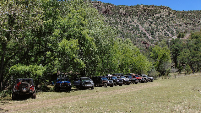
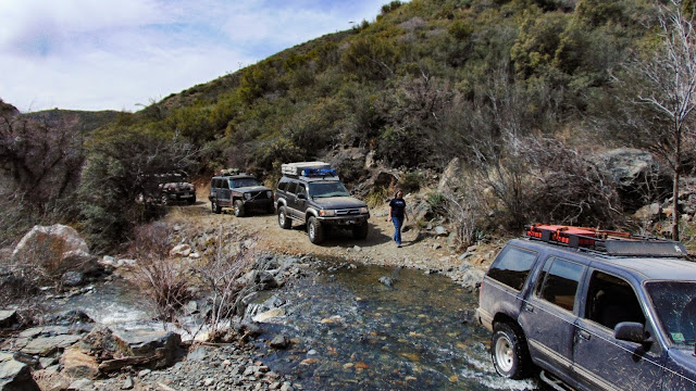
3. Tracking Your Group
One of the primary benefits of APRS is the ability to track the real-time positions of group members. To track your group effectively:
- Ensure that all vehicles in your group have APRS-equipped radios or trackers.
- Configure your APRS devices to use the same APRS frequency and settings.
- Monitor the positions of group members on an APRS mapping platform, such as aprs.fi or the APRS mobile app.
- Use the tracking information to maintain situational awareness and make informed decisions during the adventure.
4. Reporting Weather Data
If you’re venturing into areas with unpredictable weather, APRS can help you monitor and report weather conditions. Some APRS-equipped devices can measure temperature, humidity, barometric pressure, and other weather-related data. To report weather data:
- Ensure that your APRS device is set up to collect weather data and include it in APRS packets.
- Transmit APRS packets with the weather data at regular intervals.
- Monitor the weather data received from other APRS stations to stay informed about local conditions.
5. Emergency Communication
In emergencies or challenging situations, APRS can be a lifeline for requesting assistance or conveying your location to search and rescue teams. To use APRS for emergency communication:
- Set your APRS beacon to transmit an emergency status (e.g
., “EMERGENCY”) and include relevant information in the comment section of your APRS packet.
- Monitor the APRS network for emergency beacons from others.
- If you encounter an emergency situation, activate your emergency beacon and transmit your location and situation.
6. APRS Digipeaters and iGates
APRS digipeaters and iGates play a crucial role in extending the coverage of APRS data. Digipeaters receive APRS packets and retransmit them to cover a broader area. iGates, on the other hand, receive APRS packets and upload them to the APRS internet network, making the data accessible to a wider audience. Understanding the locations of digipeaters and iGates in your area can help you plan your 4×4 adventures and ensure reliable APRS coverage.
7. APRS Mapping Apps
Several APRS mapping apps are available for smartphones and tablets. These apps allow you to track APRS stations, view weather data, send and receive messages, and access maps with APRS overlays. Popular APRS mapping apps include APRSdroid (for Android) and PocketPacket (for iOS). Install a compatible app on your device to enhance your APRS experience during your 4×4 adventures.
8. Licensing and Regulations
It’s important to note that APRS uses amateur radio frequencies, and users must hold an appropriate amateur radio license to operate APRS equipment legally. Ensure that you and your group members are licensed ham radio operators before using APRS for 4×4 adventures.
Conclusion
APRS is a valuable tool for enhancing communication, tracking, and safety during 4×4 adventures. By equipping your vehicles with APRS-capable radios or trackers, configuring them correctly, and following APRS best practices, you can enjoy improved situational awareness, efficient group coordination, and a heightened level of safety during your off-road journeys. Whether you’re communicating with fellow adventurers, tracking group members, monitoring weather conditions, or using APRS for emergency communication, this versatile system can significantly enhance your 4×4 adventure experience.