| Difficulty | Intermediate |
| Miles | 800+ |
| Time | 5-6 days |
| Land | BLM, USDA FS, AZTL, Tribal |
| Elevation | 1,300-10,000 Ft. |
| Stint | Approximately 180 mi. |
Description
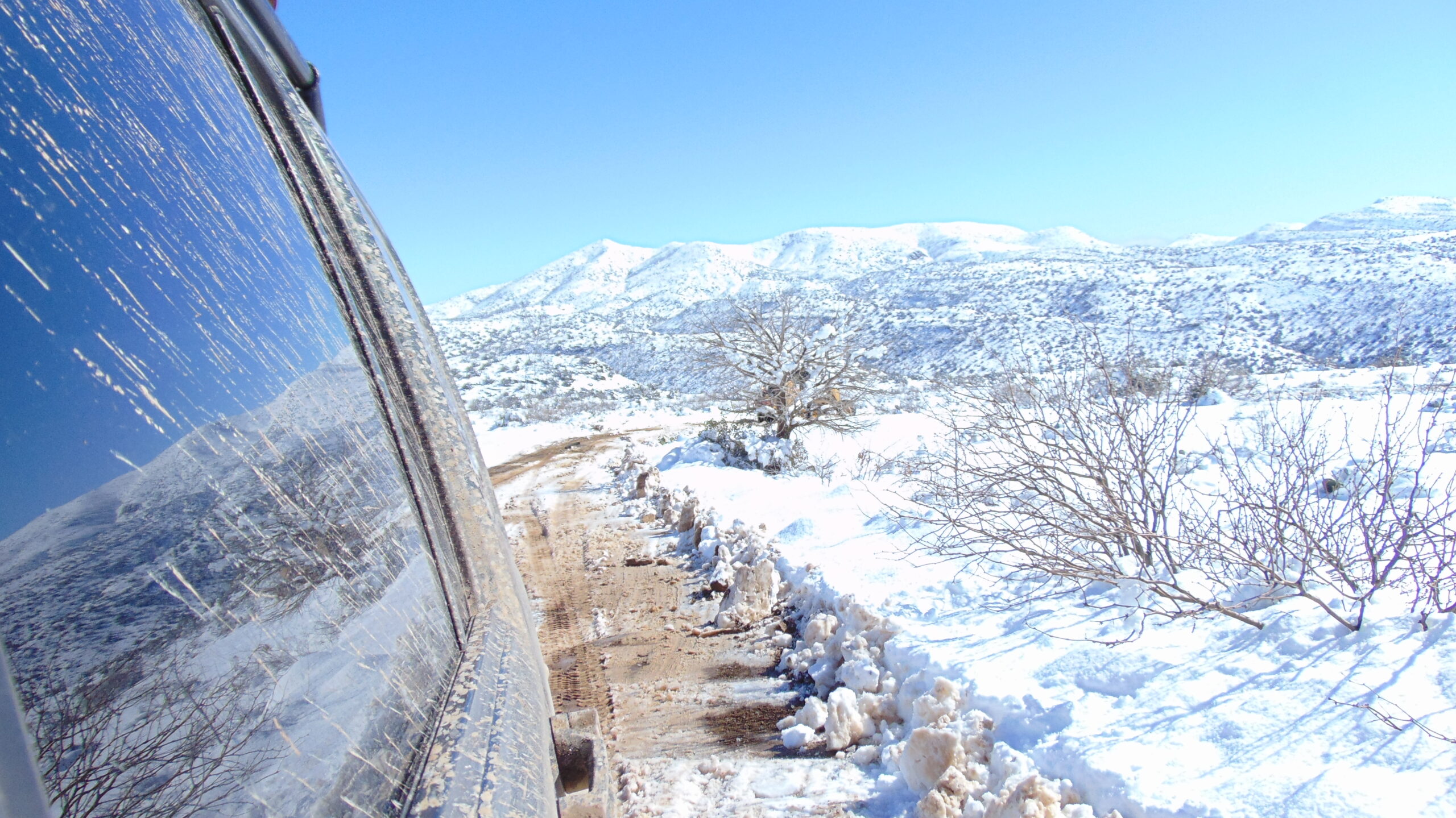
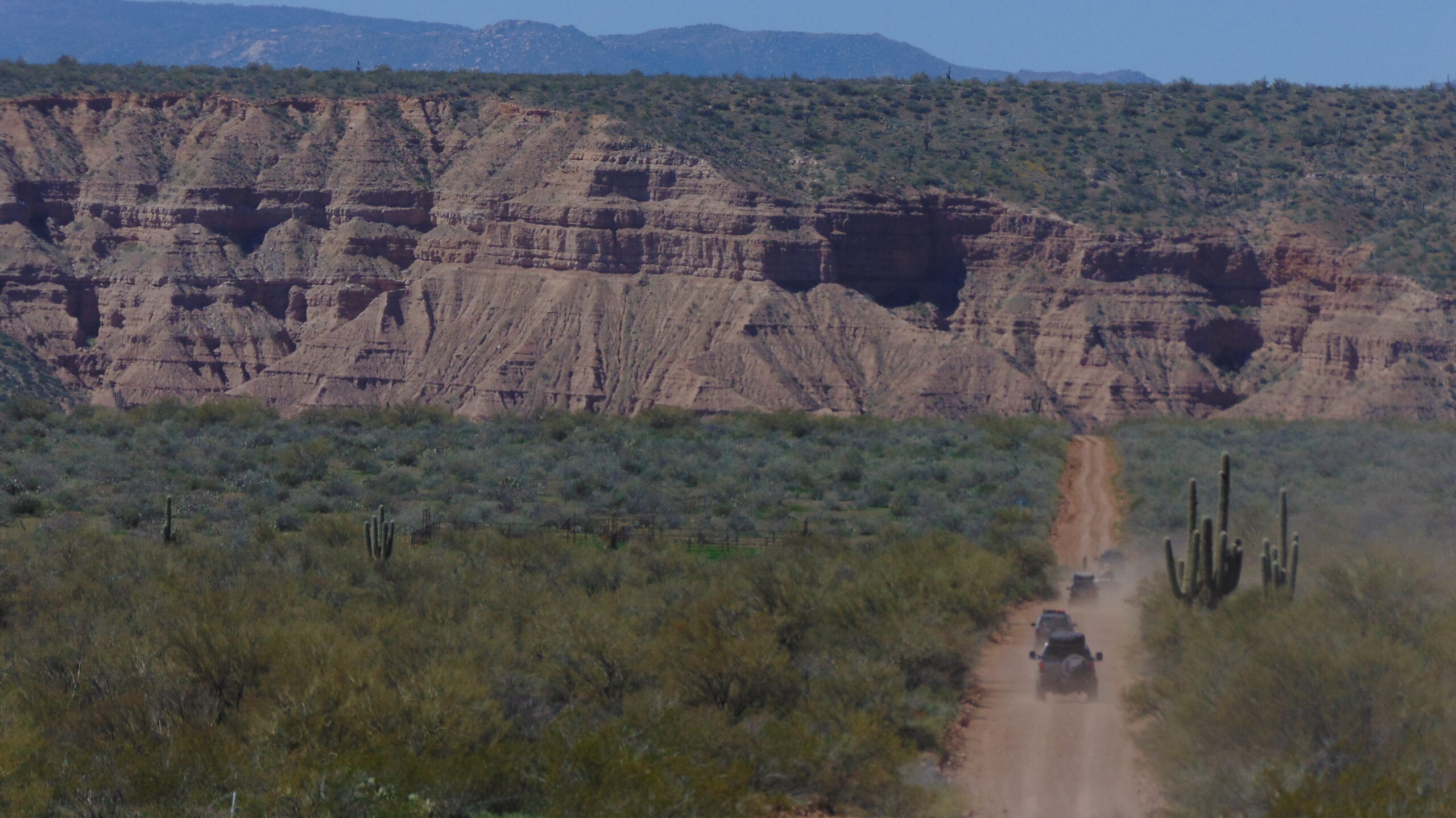
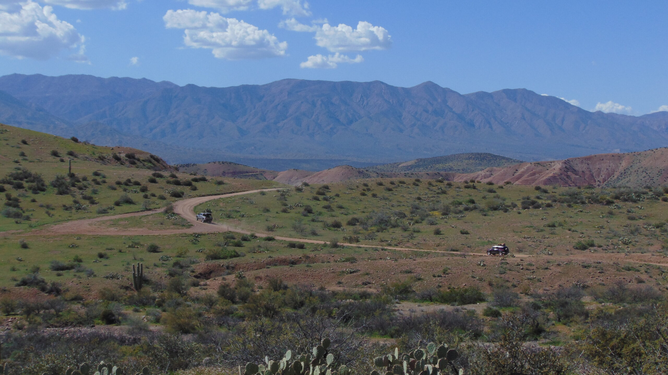
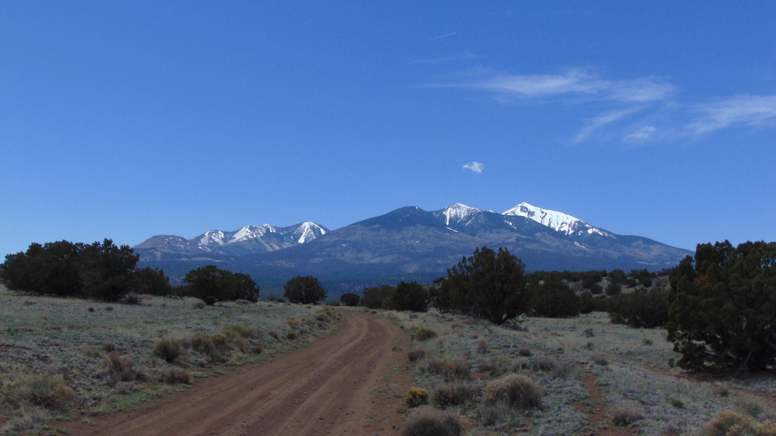
Are you interested in embarking on an unforgettable adventure through the beautiful landscapes of Arizona? Look no further than the Arizona section of the Great Western Trail! This intermediate-level trail covers over 800 miles and can be completed in 5-6 days, offering you a thrilling off-road experience.
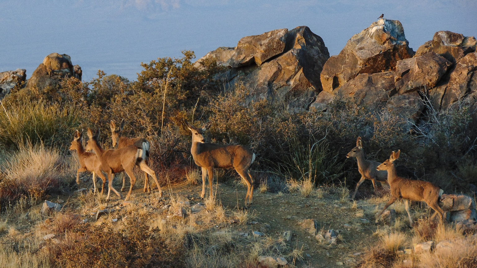
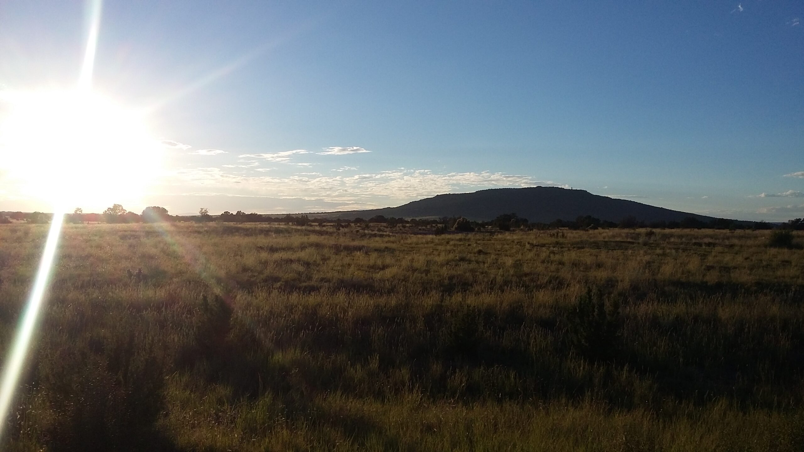
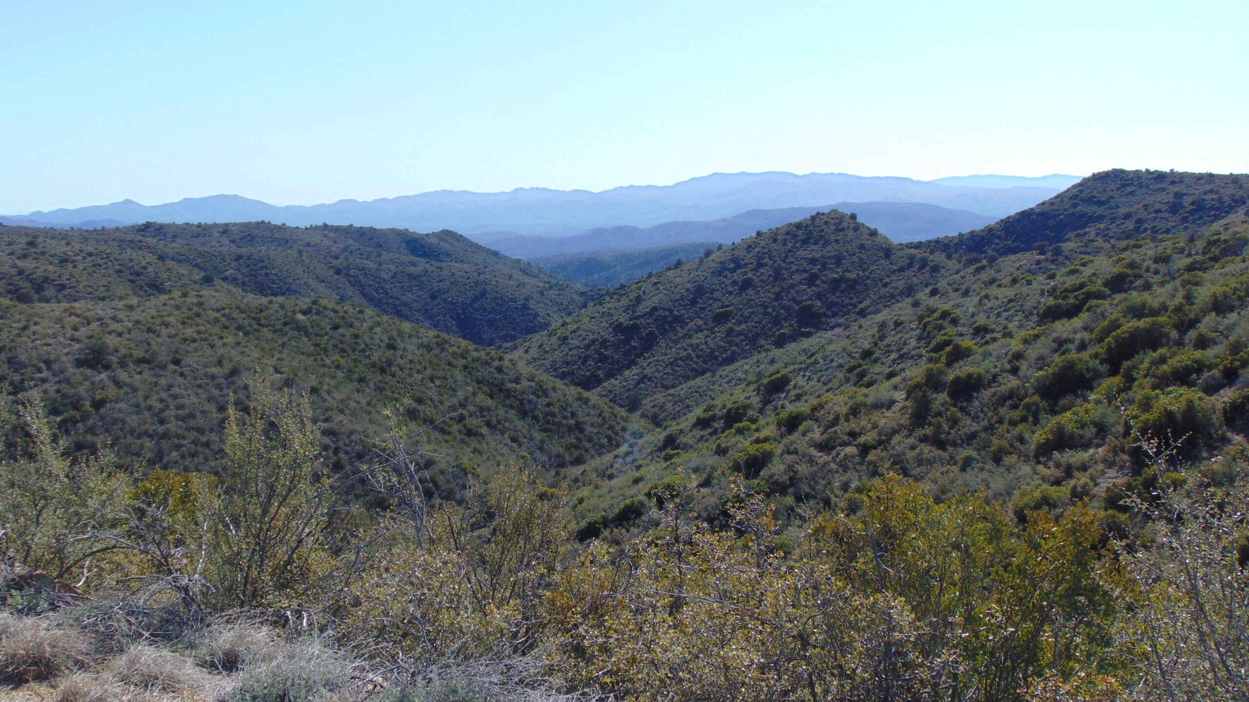
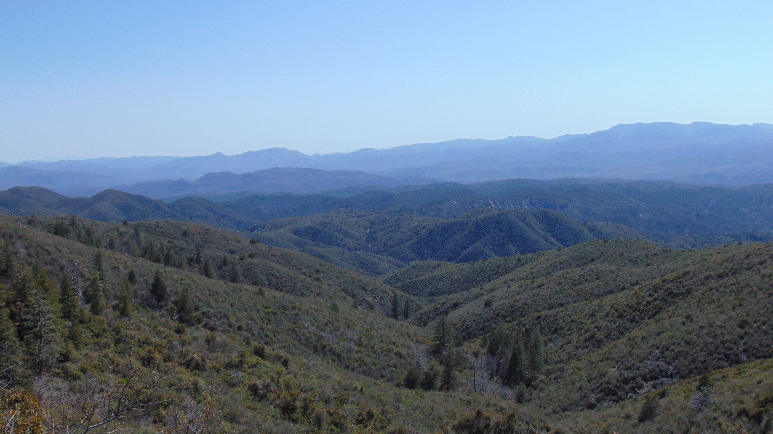
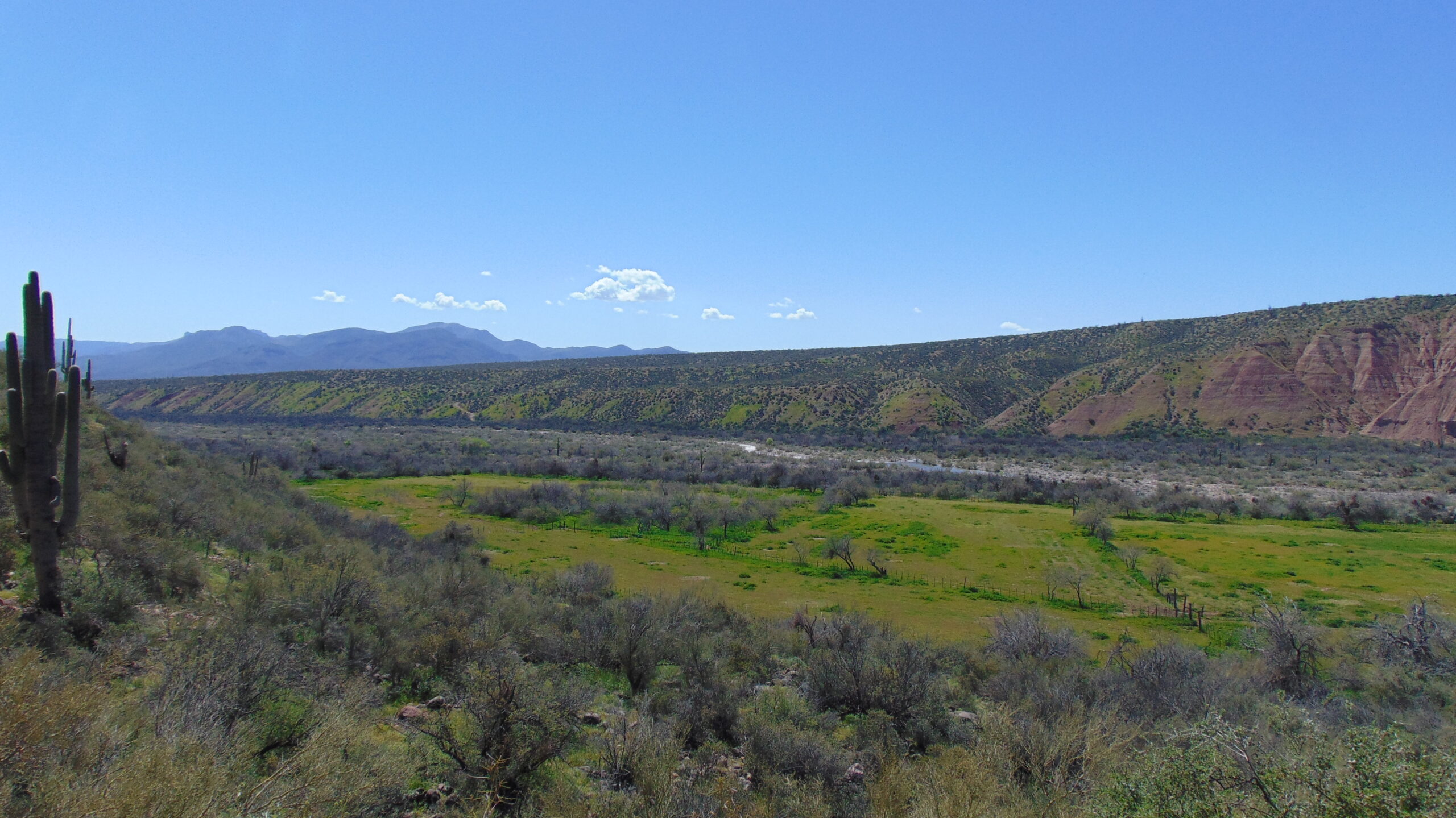
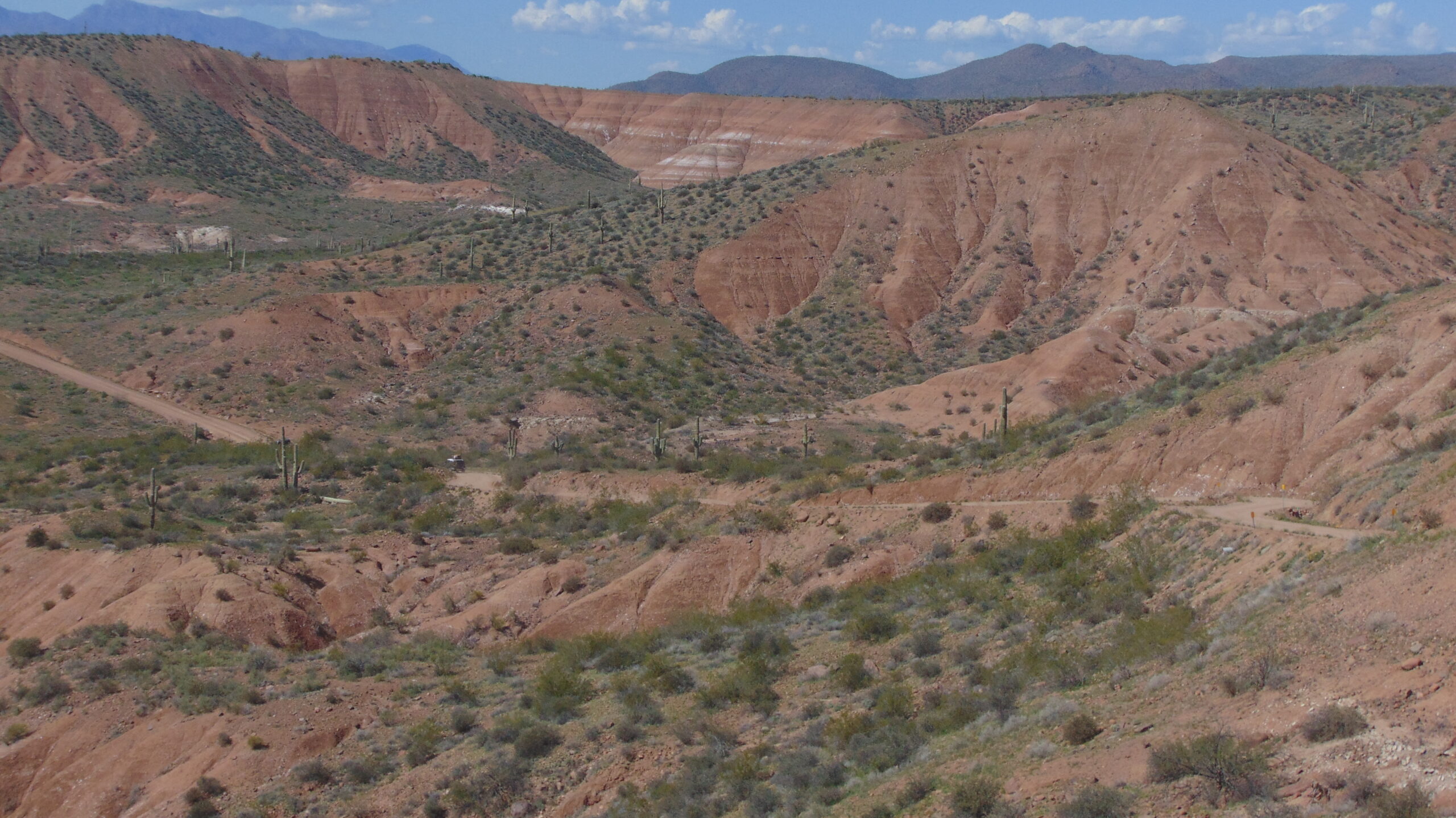
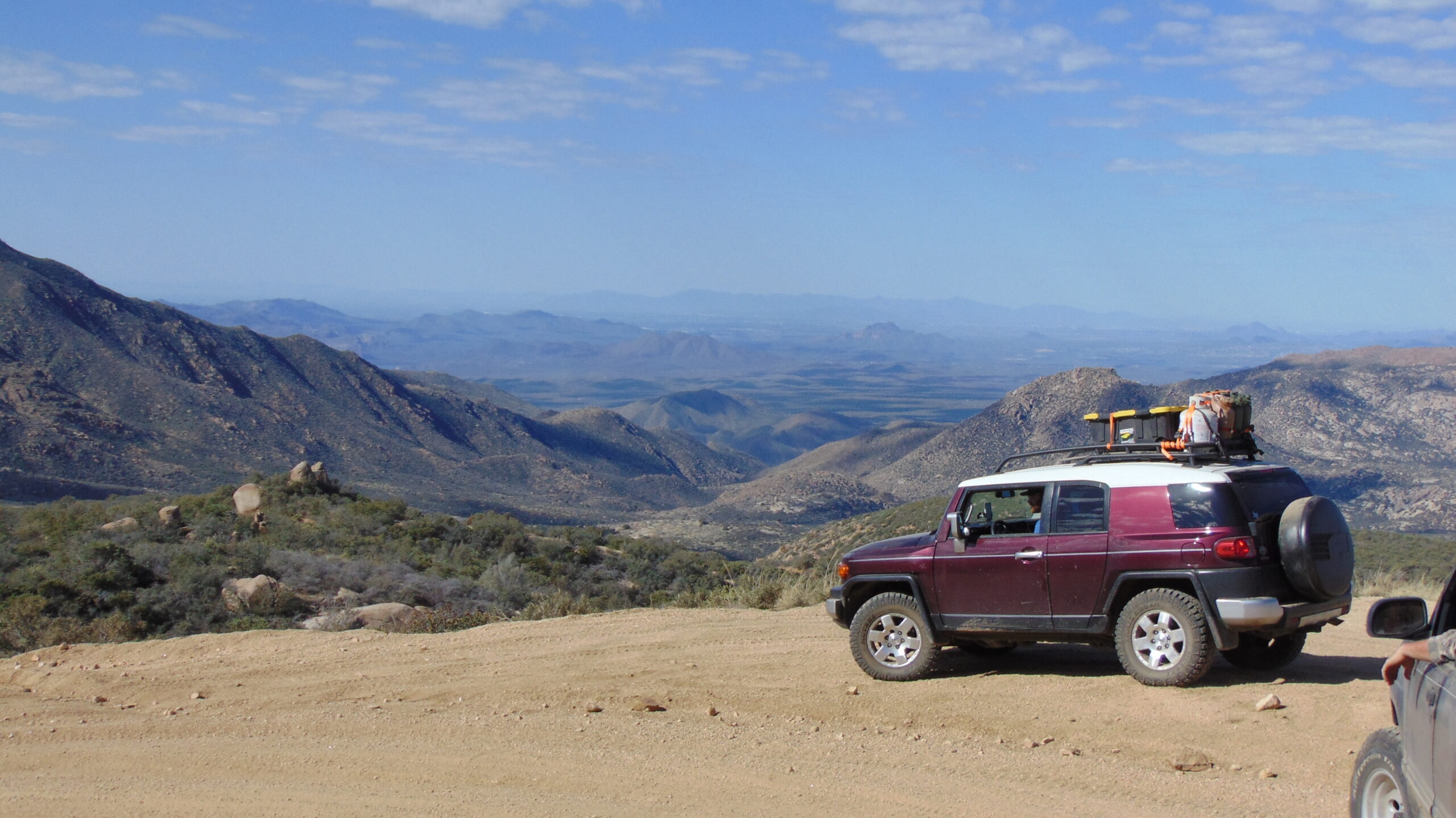
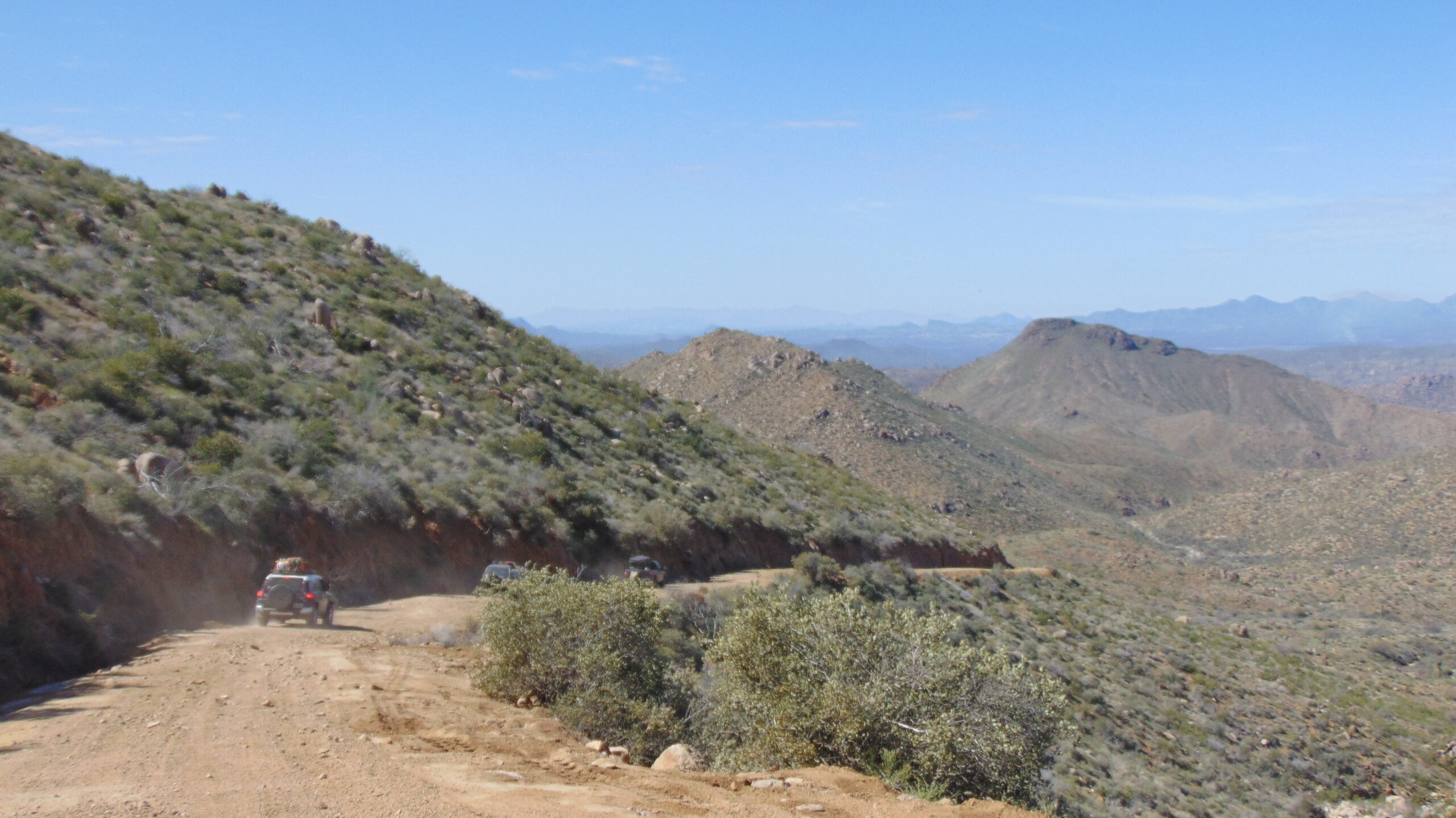
With an elevation ranging from 1,300 to 10,000 feet, you will have the opportunity to explore diverse terrains, from towering mountain ranges to picturesque valleys. The route incorporates some of Arizona’s most scenic drives, including Mount Lemon, Pioneer Pass, Four Peaks, Seven Springs Rd, and Cherry Rd, among others.
While the route itself may not have direct points of interest, there are numerous side trails that lead to fascinating destinations. Discover abandoned mines, old cabins, and even state parks along the way. To help you plan your adventure, you can download GPS tracks and points of interest to ensure you don’t miss out on any hidden gems.
One important note: please be aware that the Navajo Nation section of the route is currently closed. Additionally, Arizona State Parks and Trails is developing a management plan for the entire trail, so expect some re-routes and changes in the near future.
To embark on this self-guided tour, you will need a lightly equipped 4WD truck or SUV. While the route is generally easy, wet weather conditions can pose challenges. It’s essential to be prepared to spend at least three days without services, but extra fuel is not required.
So, gather your adventurous spirit, and get ready to explore the wonders of Arizona on the Great Western Trail. Take in the breathtaking scenery, capture incredible photos, and create memories that will last a lifetime. Start planning your off-road adventure today!
Downloads
Download the GPS tracks and points of interest for this self-guided tour.
Important information
The Navajo Nation section of this route is currently closed.
Arizona State Parks and Trails are currently developing a management plan for the entire trail. Expect reroutes and changes to this route sometime soon.