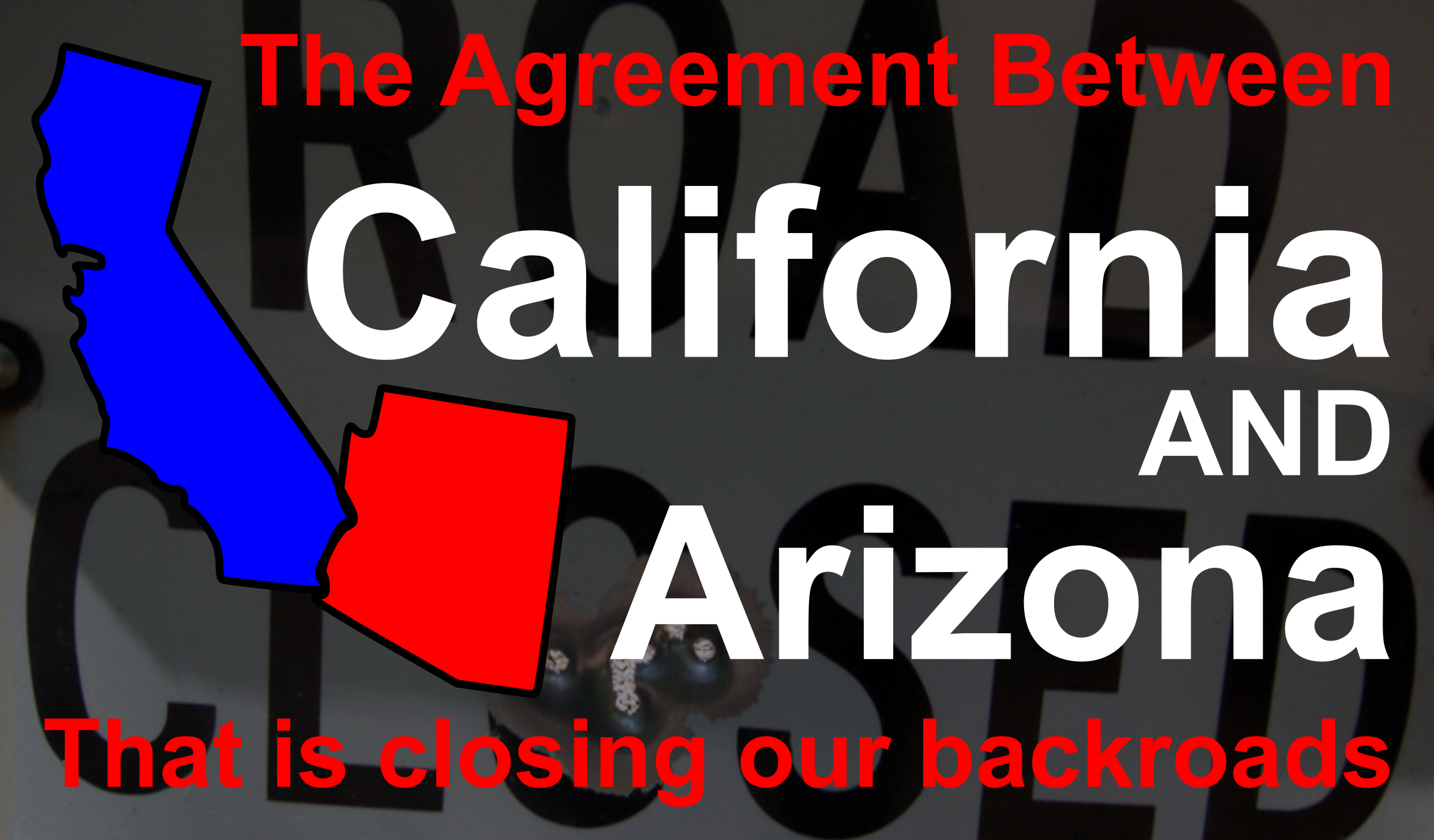


In 2018, the California and Arizona State Historic Preservation Offices entered into a Programmatic Agreement with the Arizona Bureau of Land Management to remind the Arizona Bureau of Land Management of their Travel Management responsibilities in compliance with Section 106 of the National Historic Preservation Act.
This agreement was put in place after the community forced the withdrawal of 7 travel management plans in 2018.
Over ten local organizations representing motorized users were invited to help develop the agreement with well over 20 anti-access organizations and multiple federal agencies. In the end, two local 4×4 clubs, multiple Indian tribes, multiple sheriff’s offices, military reservations, the California and Arizona State Historic Preservation Offices, and federal agencies such as the US Border Patrol and Customs, signed the agreement.
The argument calls for the Bureau of Land Management to develop Travel Management Plans to preserve historical places according to 23 stipulations laid out in the agreement. According to the programmatic agreement, the plan is meant to preserve historic properties and give the Bureau of Land Management direction to mitigate the effects of motorized travel on public land.
The 93-page plan defines several terms including the term “Archaeological Site” and includes the minimum criteria for defining an Archaeological Site to include nails and shards of glass.
“The minimum criteria for defining an archaeological site are that the
site should contain the remains of past human activity that are at least
50 years old and should consist of one or more of the following:1) At least thirty (30) artifacts of a single class (e.g., 30 sherds, 30 tin
cans) within an area fifty (50) feet in diameter, except where all
pieces appear to originate from a single source (e.g., one ceramic
pot, one glass bottle.2) At least 20 artifacts which include at least two (2) classes of
artifacts types (e.g., sherds, nails, glass) within a fifty (50) feet
radius in diameter.3) One or more archaeological features in temporal association with
any number of artifacts.4) Two or more temporally associated archaeological features
without artifacts.”
They claim that any sign of past human activity constitutes a historical place and thus mitigation measures are required under Section 106 of the National Historic Preservation Act.
The agreement also defines the Planning Area of Potential Effects (APE) for route designation and establishes a buffer zone of 100 feet to 1/4 mile on either side of the road. This buffer zone delineates the management area affected by Travel Management Planning. It specifically mentions parking areas, campsites, and roadside pull-offs as part of the planning area of potential effects.
“For the purposes of this Agreement, the following shall be used as guidance when determining the APE:
1) Direct Effects. Direct effects shall be defined to include physical alteration, damage, or destruction, including from vibrations, which occurs at the same time and place and are a result of the Undertaking.
2) Indirect Effects. Indirect effects shall include visual, audible, and atmospheric
elements that could potentially diminish the integrity of historic properties for which setting, feeling, and/or association are aspects of such integrity. When determining the APE, the Agency Official shall consider the potential indirect effects within, at minimum, a distance of one quarter (1/4) of a mile on either side of the centerline of a route, unless the provisions of Stipulation IV.B are applicable.3) Cumulative Effects. Consideration of cumulative effects shall include the reasonably foreseeable additive or interactive effects associated with the Undertaking. When determining the APE, the Agency Official shall consider the potential cumulative effects within, at minimum, a distance of one quarter (1/4) of a mile on either side of the centerline of a route, unless the provisions of Stipulation IV.B are applicable.”
How California is involved
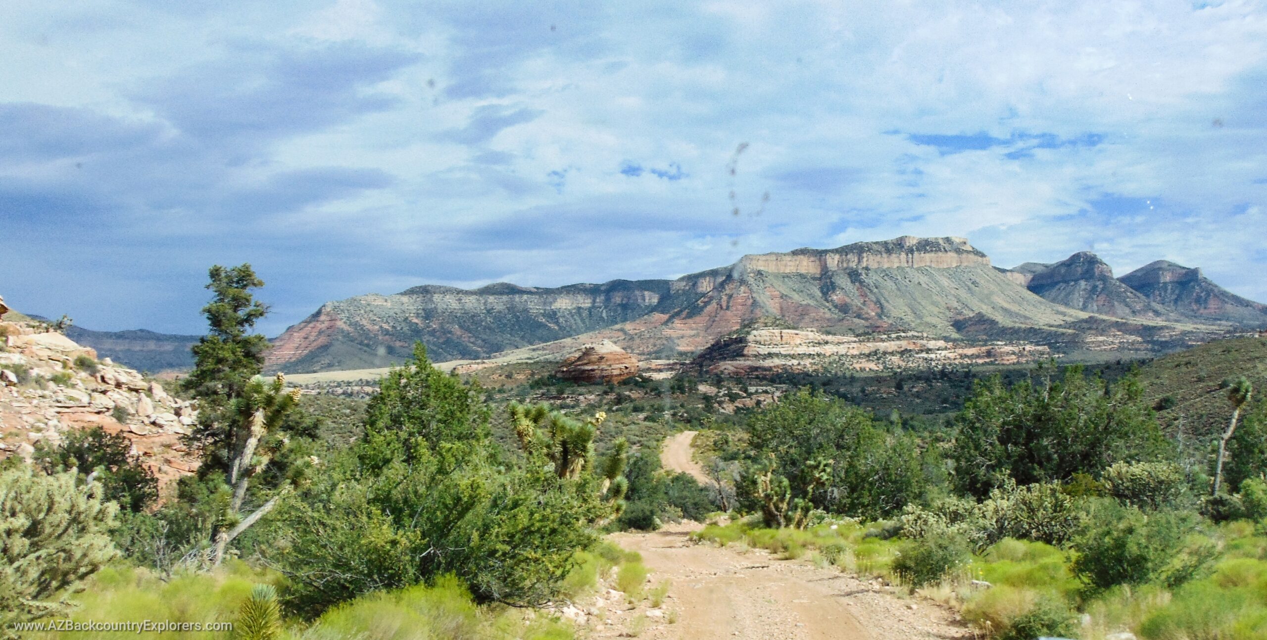
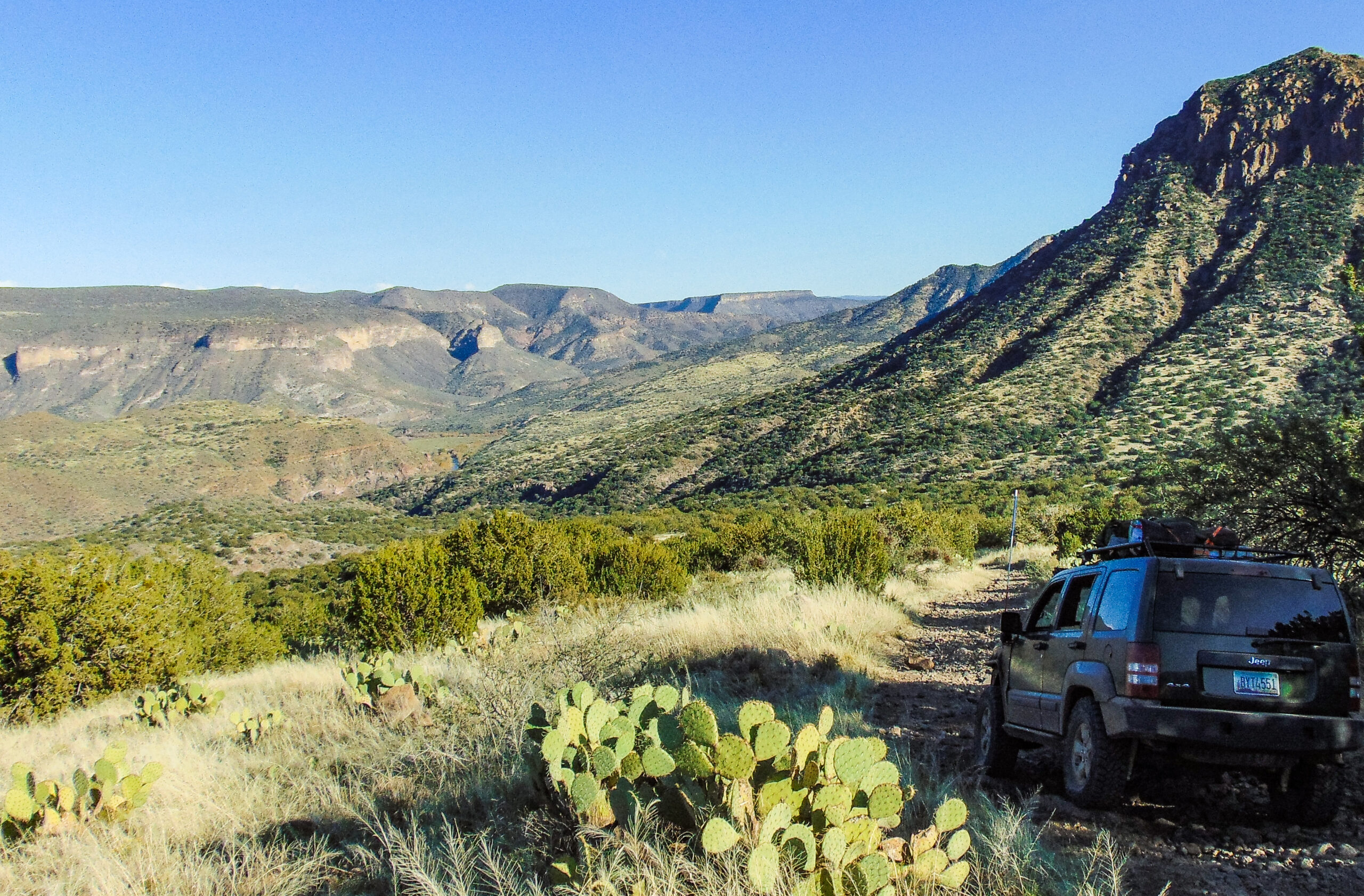
The Lake Havasu area is under the direction of the Arizona Bureau of Land Management. It is the only Bureau of Land Management Ranger District that crosses state lines into California. Therefore, California has asserted its authority over public lands in Arizona through the travel management process. As a result, California state agencies play the role of cooperating agencies and influence the management of public lands in the Colorado River Ranger District in Arizona.
Between Bullhead City and Yuma, the boundary of the Colorado River Ranger District of the Arizona Bureau of Land Management extends west of the Arizona-California border. The Colorado River Ranger District consists of 1.3 million acres of public land, 84,000 acres of which are located in the state of California. On the California side, there are 342 miles of backroads.
During the travel management plan the community defeated in 2018 for the Colorado River Ranger District, the Bureau of Land Management included California state agencies in the planning process. Entities from California were also responsible for conducting the studies necessary for the environmental impact statement that would ultimately show how motorized access to public lands damages the environment in Arizona.
Luckily, the community forced a complete withdrawal of all travel management plans in the Colorado River Ranger District. In total, 7 travel management plans were canceled, and the community saved over 10,000 miles of roads on public lands.
You can read the programmatic agreement below