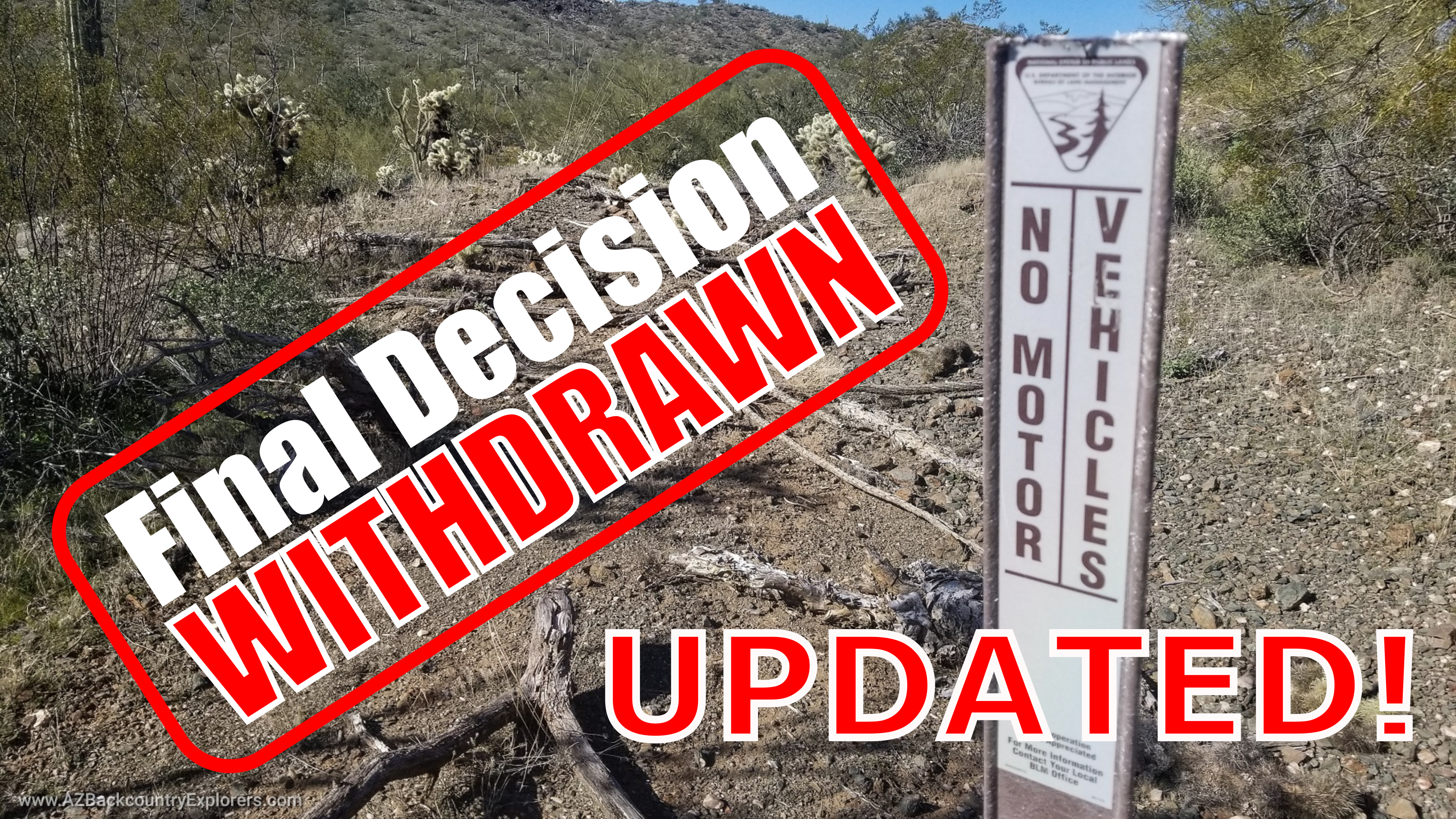


Update!
Our team met with the Bureau of Land Management in a virtual meeting to discuss our concerns with the proposal. About 15 Bureau representatives attended the meeting and quietly listened as each of us took 2 minutes to express our grievance followed by a chance to ask questions.
Arizona Backcountry Explorers, Blueribbon Coalition, Arizona Undertakers, ASA4WDC, and the Road Runners Prospecters Club attended the meeting. We all expressed our concerns as if prior rehearsals synchronized our whole approach.
The Bureau did not discuss its intentions with the plan and claimed that everyone in the meeting was new to the Hassayampa Field Office. It appears that everyone got fired after that previous withdrawal. We were told the meeting was a chance for the new BLM crew to understand our concerns.
During my time to speak, I jumped straight to RS 2477 until I was cut off after implying the BLM has no authority over roads in this state.
Update!
Breaking news! The Bureau of Land Management has withdrawn its final decision on the Black Canyon Corridor travel management plan because of “political pressure.”
We were able to assemble an incredible team of individuals and organizations. We were hours away from serving the Department of Interior with papers and developing a fundraiser to prepare for litigation. We engaged several groups, including Yavapai County, the state legislature, and several local and Nationwide organizations, including BlueRibbon Coalition, American Mining Rights Association, Arizona Undertakers 4×4 Club, and Asa4wdc. Every one of these groups was prepared to testify under oath to defend your right to access.
We are delighted the Bureau of Land Management has decided to take this plan back to the drawing board.
Ladies and gentlemen, this is precisely why I build Arizona Backcountry Explorers. We are proud to be a driving force on behalf of motorized access in Arizona. If you would like to help, you can become a supporting member and help us further our operation. You won’t regret it. I promise. ![]()
Thank you to EVERYONE who called our political representatives and exerted the pressure necessary. Thank you to Blue Ribbon Coalition who is ready to provide the funding and guidance needed to take it to the top.
We had a feeling they would be back.
The Bureau of Land Management (BLM) has returned with a final decision on the Black Canyon Corridor Travel Management Plan. This Travel Management Plan has been in the works since early 2014 and has been on pause for the past four years. Despite the Trump administration’s attempt to deregulate a key component of Travel Management Planning, the Bureau of Land Management is moving full steam ahead.
If you remember, we published a story a while back about the deregulation and the end of a fundamental element of Travel Management Planning on BLM land. We falsely believed that we had finally ended the Travel Management procedure threatening over 10,000 miles of road across Arizona. In that story, we highlighted the Trump administration’s attempt to nullify and end the BLM Resource Management 2.0 plan put in place by the Obama administration under 81 FR 89580. The action stopped all Travel Management Planning on Bureau of Land Management land across the country. Or so we thought.
57% reduction in motorized roads
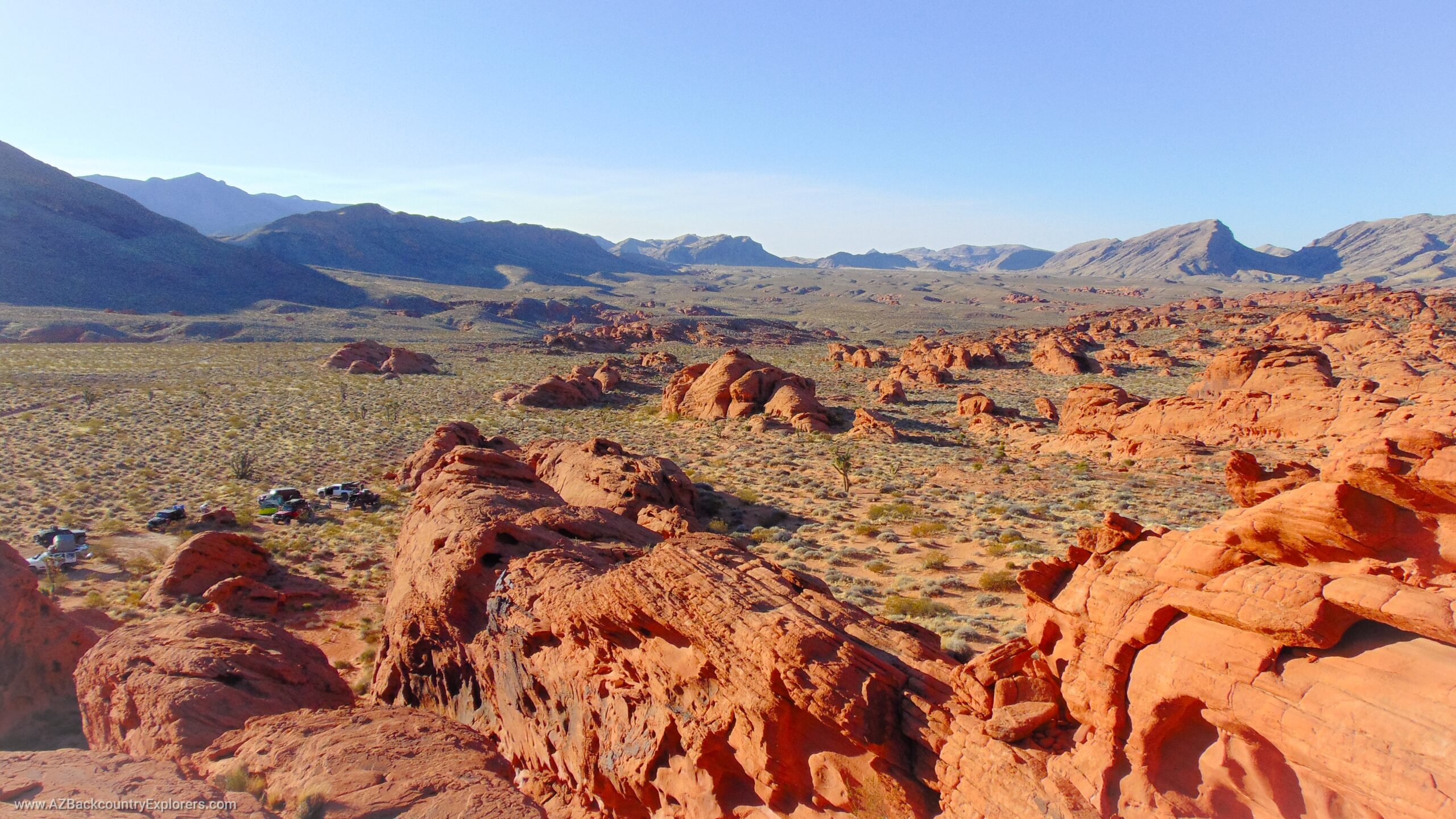
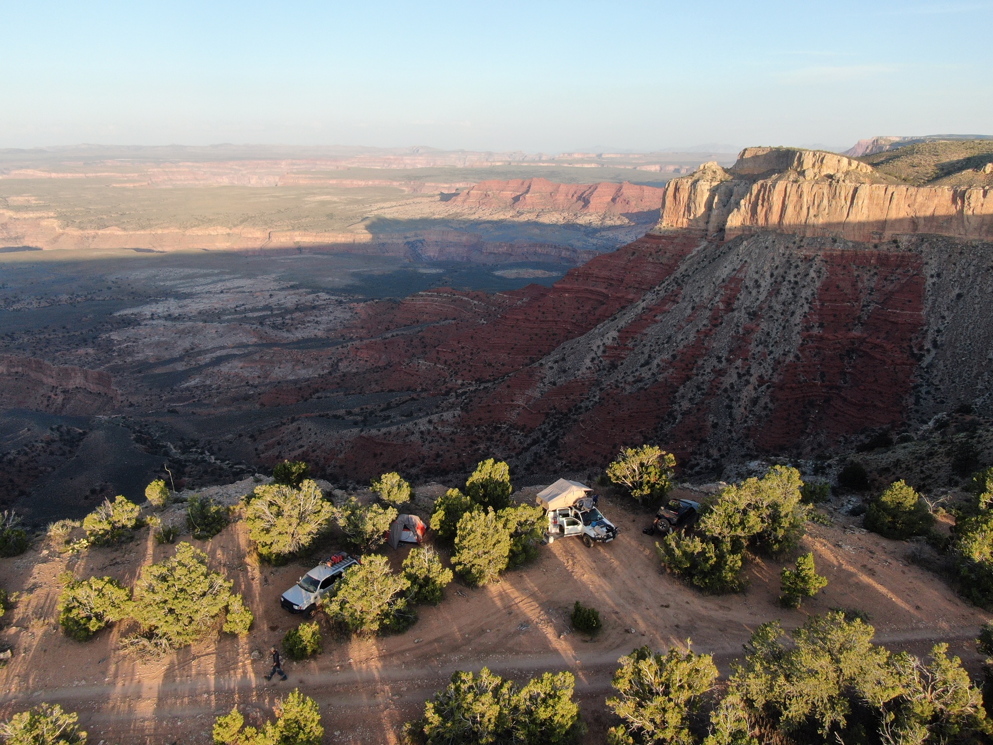
The Black Canyon Corridor Travel Management Plan covers the BLM land along Interstate 17 from the Carefree Highway to just North of Dewey Humboldt to the Prescott National Forest boundary. The decision finalizes a 57% reduction of motorized roads open to all uses. Out of the 499 miles of roads identified by BLM within the project area, 288 miles of roads are either completely closed or limited to non-motorized use leaving only 211 miles open to the public.
The BLM released a Finding of no Significant Impact claiming that the proposed procedure does not constitute a major federal action that would significantly impact the human environment. The BLM claims that because a majority of roads are being closed and no rehabilitation is taking place, there is no need for an Environmental Impact Statement.
You can find all the documents and information on this action on the project website.
Open for appeal
The final decision can be appealed by following the directions here (PDF).
We recommend that any clubs, groups, organizations who care about this issue join Arizona Backcountry Explorers, Blue Ribbon Coalition, and American Mining Rights Association in appealing this decision to the Interior Board of Land Appeals.
An appeal must be filed within 30 days of the final decision being released. That would make November 20th, 2021 the deadline to file an appeal.
Please Contact Us At opentrails@azbackroads.com
Travel Management Plan Map
The map below shows the preferred action from the Bureau of Land Management. Using this map, you can explore all the trails and their designations.