• Facebook
  • Twitter
  • Link
  • Home
  • Membership
    • Member Dashboard
    • Expeditionist Only
    • Change Password
    • Forgot Password?
    • Support Us
    • Pick A Membership
  • Store
    • AZBackroads Store
    • Cart
    • Subscriptions
    • Hats
    • Hoodie
    • Wall Art
    • Downloads
  • About Us
    • About Us
    • Connect With Us
    • Report A Trash Dump
    • AZBCE Ambassadors
    • Our Allies
  • The Backcountry
    • Arizona 4×4 Routes
    • Wildfires & Restrictions
    • Forest Alerts
    • The Guide to camping
    • Trail Etiquette
    • Arizona state trust land permit

ACTION ALERT | Middle Gila Travel Mgmt Plan Starts | Access to 350k acres threatened

BLM, Call To Action, Land Use, State Trust Land, Travel Management Plan

Written By

Kevin Allard

October 27, 2022

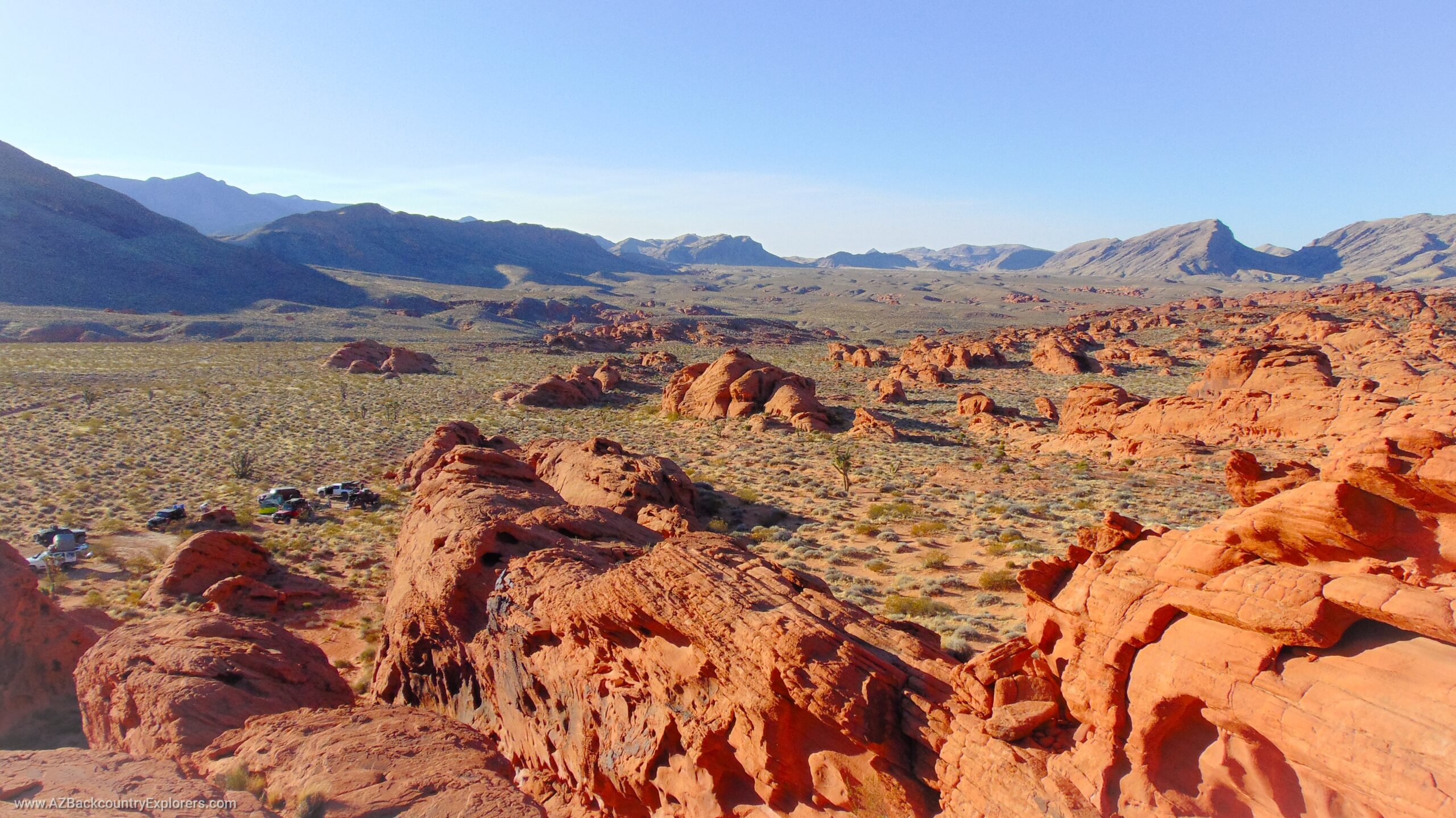
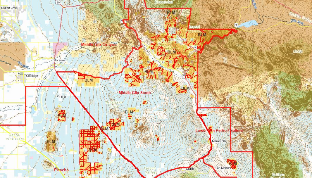
The Bureau of Land Management has initiated a comment period for a proposed Travel Management plan that will affect access to 350,000 acres of land near the towns of Mammoth, Benson, Winkelman, Kerney, Florence, Globe, Tucson, and mostly consists of State Trust Land.

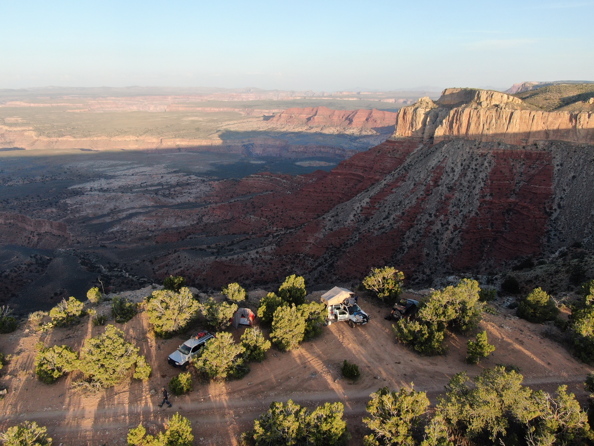
The proposed action will impose the Bureaus will on over 700 miles of existing roads on Bureau of Land Management land in the Middle Gila South, Lower San Pedro, and Picacho Travel Management Areas. This area contains multiple popular destinations accessed by hundreds of miles of RS 2477 roads.

We encourage you to submit your comments on this proposal. The Bureau will shape the plan based on substantial comments that answer the questions below. Your involvement in this plan is essential to establish opposition to closing or restricting access to public lands. We encourage you to be wise when submitting these comments. Stick to the facts, establish solutions, but stand firm for your access.

If you submit a substantial comment, you will have the standing to appeal the final decision, bringing the Bureau’s proposed action in front of a judge for review.

The Bureau is asking for the following information from the public:

  1. What are the uses and activities you engage in, or are interested in, on public lands in the Planning Area?
  2. Please identify the public land area(s) that you use?
  3. How do you access the public land areas for your land use activities?
  4. What modes of transportation or vehicle(s) do you use to access public land for your activities in the Planning Area?
  5. Please list any areas or sites with fragile or sensitive resource values that may need special management consideration.
  6. Please list any existing access route(s) (road or trail) that have conditions that hinder or block access or make the route unsafe.
  7. Please provide any other information to help the BLM identify the existing access and transportation management issues and help define planning goals, objectives, and alternatives for access route management.

Submit your comments here!

Submitting your comments using our form below will email your comment to the Bureau to be included in the Travel Management Process. When submitted, your comment will become part of the public record through the Bureau of Land Management. Please do not indulge any personal information aside from what’s asked in this form.

Alternatively, you can use send your comments to middlegilasouth-tmp@blm.gov.

Submitting your comment here is beneficial and allows us to contact you to take further action in the future or possibly join us for an appeal.

[emailpetition id=”22″]

View the area and roads below

The map below DOES NOT show what roads are closing. This map shows the roads within the affected lands. The Bureau has not proposed any action on any road at this time. They will craft their proposal based on the comments received during this scoping process.

News Release

NEWSRELEASE_BLM-Starts-Middle-Gila-South-Travel-Management-PlanDownload
Kevin Allard [#facebook#]
Author: Kevin Allard

Kevin is an American outdoorsman born and raised in rural Arizona who grew up exploring the Arizona backcountry with his father. Today, he and his son travel to the most remote regions of Arizona, scavenging for the remains of early western pioneers. As a lifelong outdoorsman, Kevin has learned to stick close to his roots while engaging in important advocacy work regarding motorized access to public lands. You can find his work in many local and nationwide publications, including The Western Journal, 4Low Magazine, and his website AZBackroads.com.

Share this:

  • Twitter
  • Facebook

Tags:

Benson, Dispersed Camping, Florence, Globe, Kerney, Mammoth, Road Closure, Travel Management, Tucson, Winkelman

We Need Your Help To Keep Our Backroads Open!

Please become a member today!

Learn More
  • ACTION ALERT | Table Mesa Recreation Area Management Plan Revision

    ACTION ALERT | Table Mesa Recreation Area Management Plan Revision

  • ACTION ALERT | Middle Gila Travel Mgmt Plan Starts | Access to 350k acres threatened

    ACTION ALERT | Middle Gila Travel Mgmt Plan Starts | Access to 350k acres threatened

  • ACTION ALERT | permit zones Tonto NF | $10 fee Bulldog Rolls Sycamore St Clair Desert Vista

    ACTION ALERT | permit zones Tonto NF | $10 fee Bulldog Rolls Sycamore St Clair Desert Vista

  • Black Canyon TMP Final Decision | Approx 260 MI of existing roads CLOSED

    Black Canyon TMP Final Decision | Approx 260 MI of existing roads CLOSED

  • ACTION ALERT | Buckeye Hills Travel Mgmt | 354 mi of roads CLOSED Rainbow Valley

    ACTION ALERT | Buckeye Hills Travel Mgmt | 354 mi of roads CLOSED Rainbow Valley

  • ACTION ALERT | Bouse & Cactus Plain Final Decision | 1,049 mi of roads CLOSED

    ACTION ALERT | Bouse & Cactus Plain Final Decision | 1,049 mi of roads CLOSED

  • ACTION ALERT | Proposal calls for diversion tunnels around Glen Canyon Dam

    ACTION ALERT | Proposal calls for diversion tunnels around Glen Canyon Dam

  • ACTION ALERT | 54% of Roads CLOSED Near Black Canyon | NEW PROPOSAL

    ACTION ALERT | 54% of Roads CLOSED Near Black Canyon | NEW PROPOSAL

  • RED ALERT | Additional 31,000 Acres Added To Sedona Camping Closure (81k Acres)

    RED ALERT | Additional 31,000 Acres Added To Sedona Camping Closure (81k Acres)

  • Proposed withdrawal of 21,200 acres of public land near Yuma

    Proposed withdrawal of 21,200 acres of public land near Yuma

Please become an AZBackroads.com Member

As a member, you unlock access to:

  1. an incredible collection of GPS tracks.
  2. a collection of over 1,300 Points Of Interest.
  3. and commentary from the author, free merch, and a discount on all products in our store.

We Need Your Help

Learn More

Welcome

Log In
Sign Up

Accepting

  • Facebook
  • Twitter
  • Gab
  • About Us
  • Connect With Us
  • Report A Trash Dump
  • AZBCE Ambassadors
  • Our Allies
  • Take Action Now
  • Privacy & Return Policy

The Backcountry

  • Help Save Apache Trail
  • Arizona 4×4 Routes
  • Wildfires & Restrictions
  • Mapping Adventure
  • Forest Alerts
  • THE Guide to Camping
  • Trail Etiquette
  • AZ State Trust Land Permit

Membership

  • Member Dashboard
  • Members Only
  • View Profile
  • Edit Profile
  • Change Password
  • Log out
  • Support Us

Store

  • AZBackroads Store
  • Membership
  • Hat
  • Shirt
  • Hoodie
  • Wall Art
  • Download
  • Cart

This website is built and maintained by Kevin Allard. All content on this website is protected by Copyright and shall not be redistributed without written permission by the author. The Arizona Backcountry Explorers and AZBackroads.com name and logos are registered trademarks of Kevin Allard. Names and logos of our partners, affiliates, and syndicates are registered trademarks of their respective owners.