

Update!
Upon publishing this article, we were contacted by a frantic Prescott National Forest staff claiming that we were publishing misinformation concerning the Verde Recreation action plan. It appears that we mistakenly thought these new changes were applying to the Prescott Basin when in fact they already do apply to the Prescott basin. This plan is already in place.
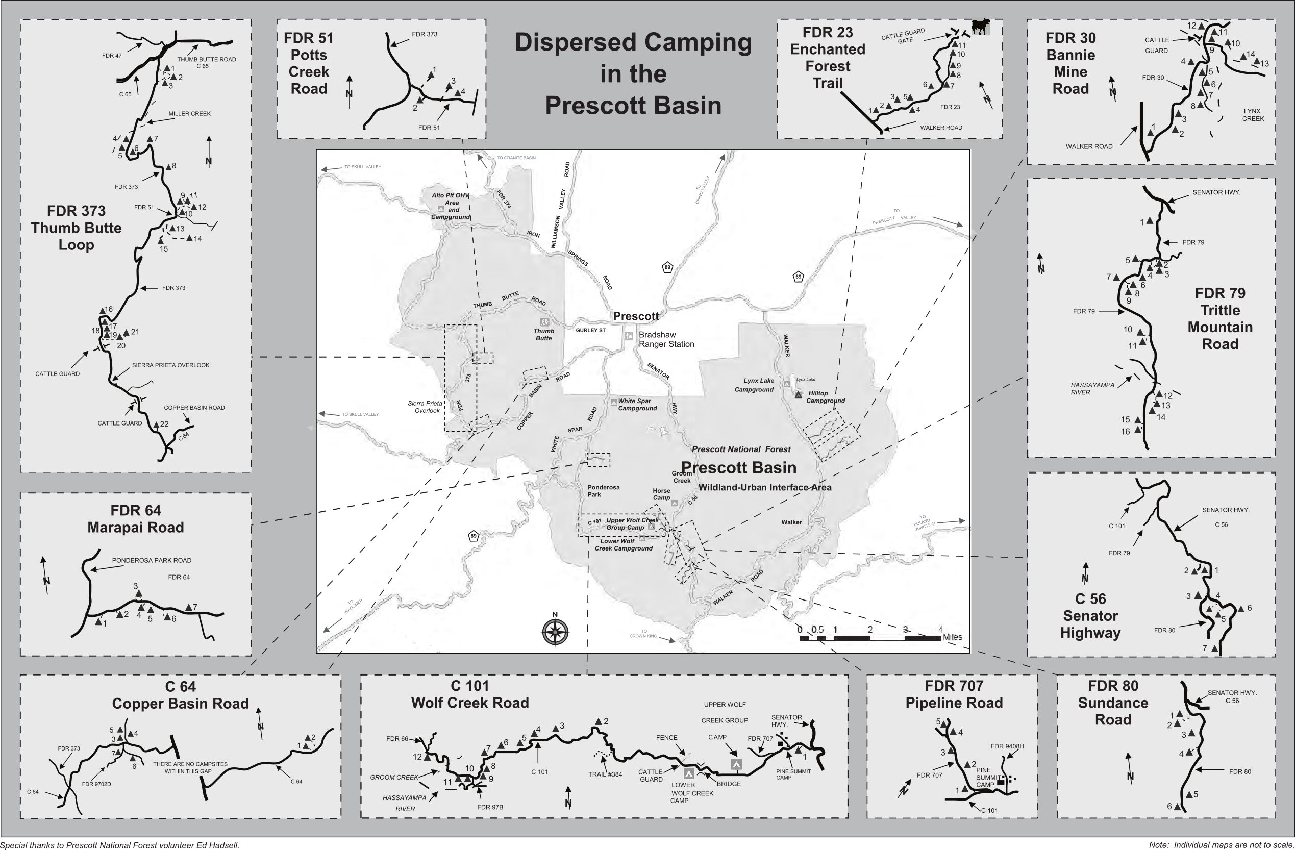
We’ve been aware of the dispersed camping restrictions in the Prescott Basin but did not know it was to this extent. According to the forest service, the restrictions in the Prescott basin have been in place since 2001 and the forest service intends to implement a similar system in the Verde Ranger District.
We mistakenly thought that appendix I was a depiction of the project area when in fact it was used as an example for this new project.
All other information remains accurate and the article below has been updated as of Wednesday, March 23, 2022.
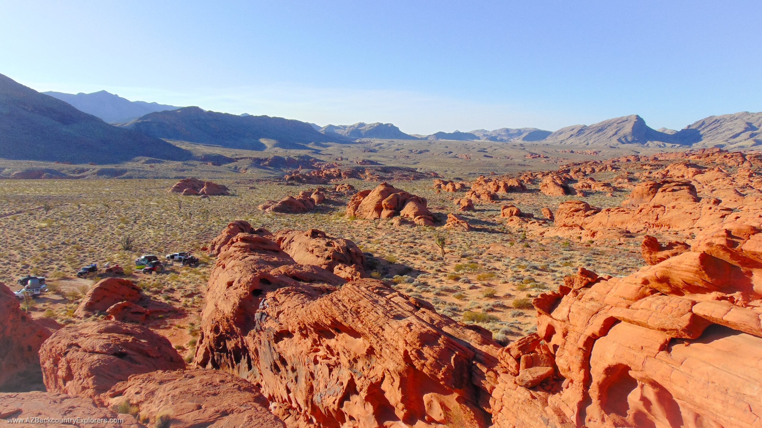
A Recreation Action Plan has been introduced by the Verde Front Collaborative in the Prescott National Forest. This proposition includes several changes to how certain dispersed recreation activities are managed throughout the Verde Ranger District in Arizona.
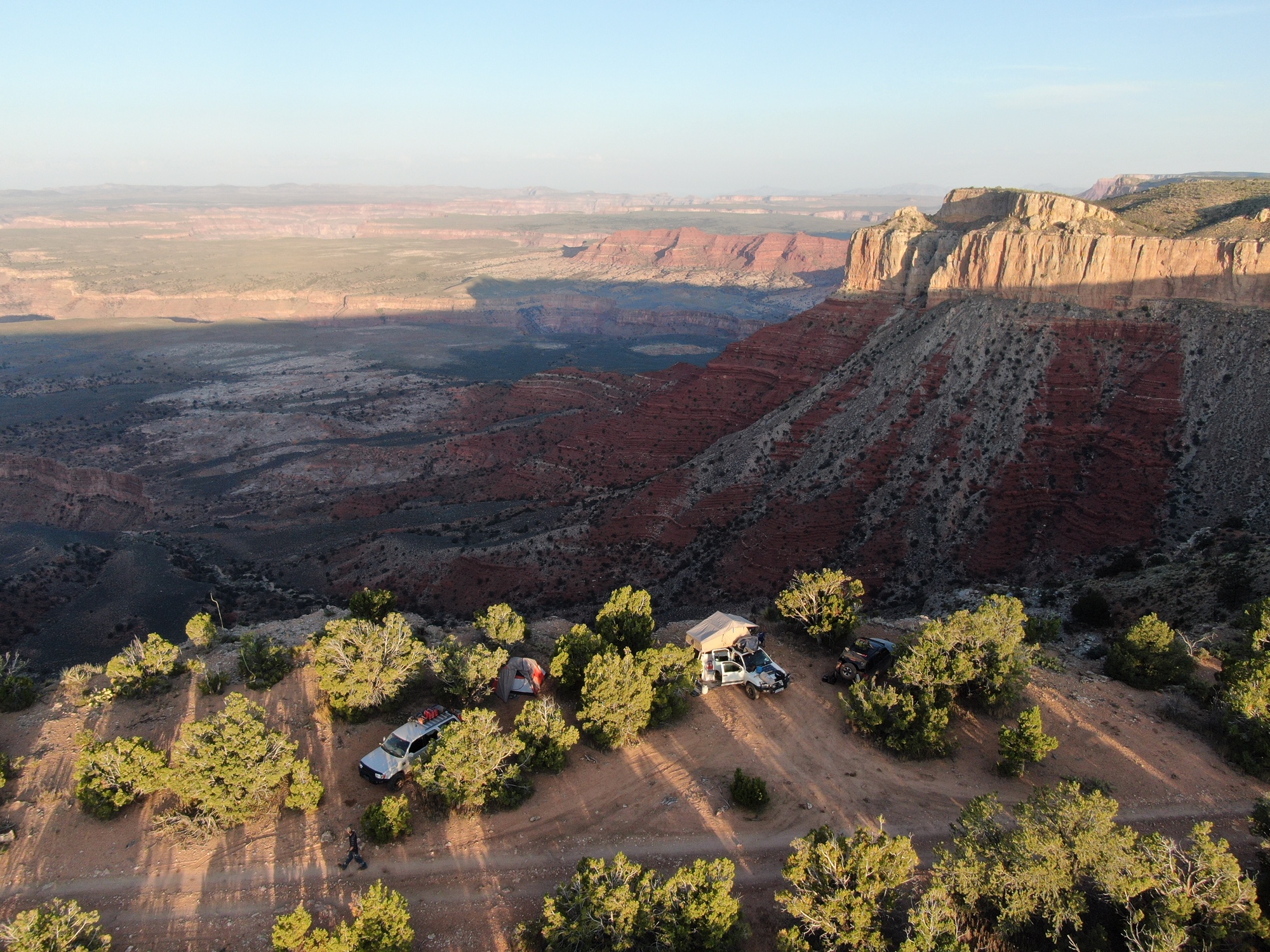
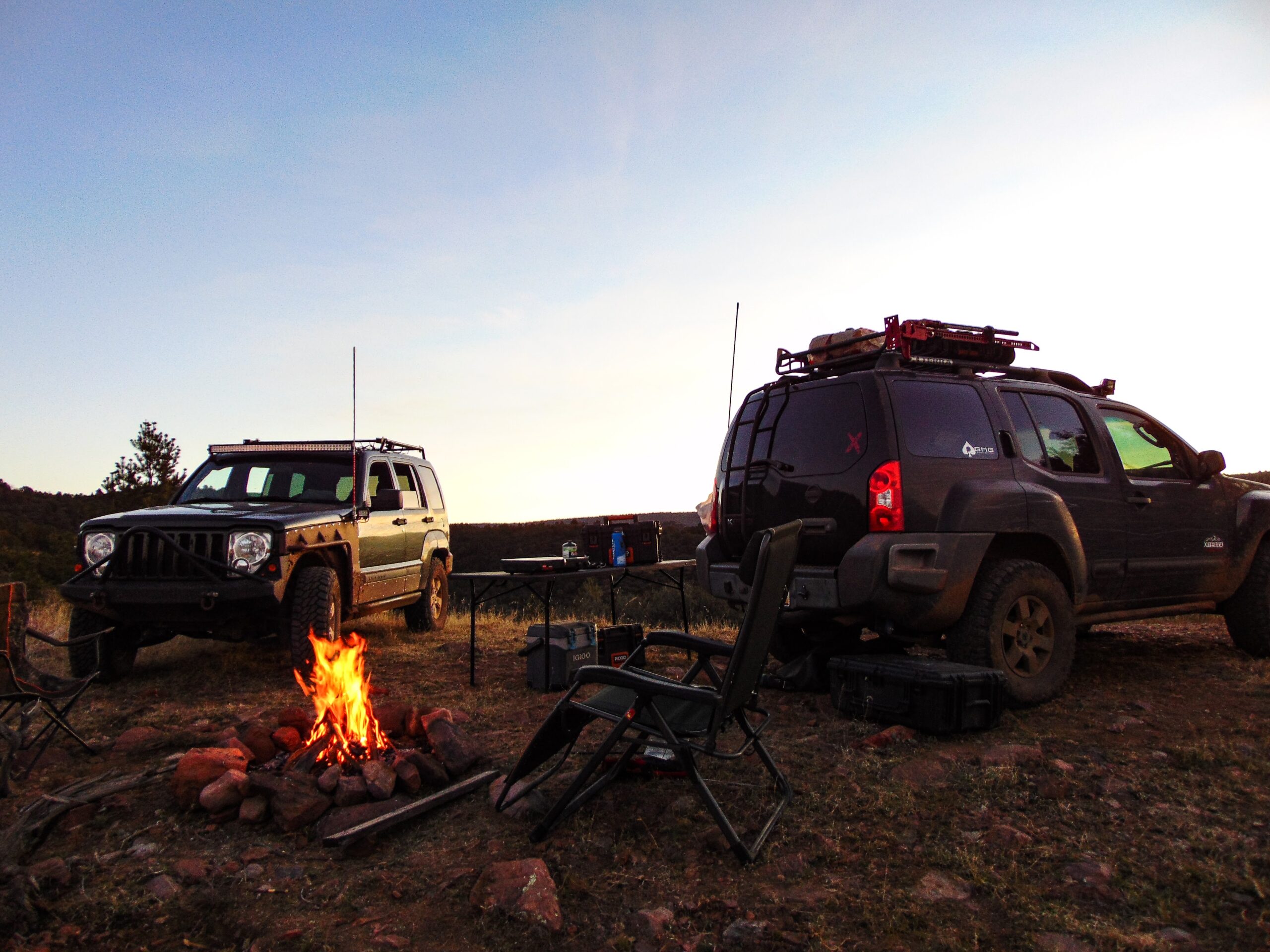
The plan creates 10 Designated Dispersed Recreation Areas (DDRA) and restricts dispersed camping within the Verde Ranger District to designated areas only. Other recreation activities such as campfires, target shooting, camping, motorized use, hiking, biking, hunting, fishing, and others will be regulated. Each DDRA is unique and will host its own rules on dispersed recreation activities. Among them is an embargo on dispersed camping, effectively criminalizing the use of hundreds of existing campsites.
In Addition, dispersed camping corridors will be permanently removed from the Motor Vehicle Use Map along 43 miles of Forest Roads that currently allow dispersed camping within the Verde Valley. A prohibition will also be placed on dispersed camping along Yavapai County Roads.
Other Details about the Verde Recreation Action Plan
Two new campgrounds will be created including Gades Campground adjacent to Mingus Mountain Campground plus an expansion to Beasly Flat along the Verde River. The developed camping areas will host several campsites suitable for small RVs that include fire rings, vault toilets, BBQ grills, and picnic tables. There will also be a small dry tent camping area along the river.
This plan is proposing the closure of several Forest Roads that are currently open under the active Travel Management Plan. Approximately 30 miles of maintenance level 2 (high clearance) roads will be closed and removed from the Motor Vehicle Use Map or designated for other uses while a total of 1,400 feet of new roadway will be created. The roads will be decommissioned using several methods including physical barriers, ripping, seeding, or signage.
Approximately 60 miles of non-motorized trails will be created with mountain bike trails allowing class-1 e-bike use. This plan also includes several improvements to river access areas and the creation of non-motorized trailheads on public lands with easements over private property.
The Verde Recreation Plan also includes decommissioning the Prary Lane river access area with the proposition of a new “riverfront park” along the Verde River in Camp Verde, Arizona. The new park would be managed by the Friends of the Verde River and be developed on private conservation easements and federal land.
The popular Salt Mine will be turned into a Day Use Area where pipe fencing will be installed to prohibit motorized access to the historical Salt Mine. An ADA-accessible non-motorized trail will guide visitors from the 6-8 vehicle parking area to the historical landmark where they will find interpretative signage.
Verde Front Collaborative
This plan was developed by the same group that is advocating a permit system on popular Forest Roads around Sedona, Arizona. They currently operate within the city of Sedona’s Red Rock OHV Conservation Crew in partnership with TreadLightly and local Jeep tour companies. The Verde Front Collaborative consists of several environmental groups along with local governments and state agencies that work within the Verde River Watershed. They include cities like Sedona, Camp Verde, Cottonwood, and Jerome.
However, you will not find Prescott, Crown King, Dewey Humbolt, and other local cities and towns that will be directly affected by this proposal.
Our Concern
We support the expansion and development of campsites for public land users. As demand increases, more development should be made to accommodate that demand. However, we are concerned about the loss of dispersed camping opportunities along forest roads in the Verde Ranger District. We believe that limiting dispersed camping to designated sites will harm the recreational quality of our National Forest.
These changes will create major inconveniences for public land users causing them to abandon the area. This ultimately will result in a decline in local revenue generated by public land users. Likewise, it will put additional strain on existing dispersed campsites outside of the restricted area causing additional resource damage.
This proposal is a complete ban on the current dispersed camping practice. If implemented, we would no longer be able to camp along forest roads in the project area.
These areas are popular because the general public finds a high recreation value in the dispersed recreation opportunities in the Verde Valley. Implementing this proposal by a group that is known for its bias towards motorized public land users, would be doing the public a disservice.
Finally, dispersed camping is one of the most popular recreation activities in the area. It contributes greatly to the local economy, especially the small towns in the immediate vicinity.
This plan should be amended to allow dispersed camping along all forest roads or withdrawn altogether.
Documents
Below you will find the Scoping Letter that tells a summary of the proposed plans. You will also find a brochure and maps of each DDRA.
- 12-10-2021 VRAP Proposed Action Tables_Appendix A (PDF 272kb)
- 12-10-2021 BIGNOTTI SITE PLAN Map_Appendix B (PDF 510kb)
- 12-10-2021 SKIDMORE SITE PLAN Map_Appendix C (PDF 321kb)
- 12-10-2021 Homestead Park Area Map_Appendix D (PDF 420kb)
- 12-10-2021 Mingus Area Map_Appendix E (PDF 1063kb)
- 12-10-2021 Christina Gulch Black Canyon Area Map_Appendix F (PDF 980kb)
- 12-10-2021 Copper Canyon Area Map_Appendix G (PDF 981kb)
- 12-10-2021 Beasley Cedar Bench Area Map_Appendix H (PDF 1031kb)
- 12-10-2021 Designated Dispersed Camping Brochure RG_R3_09_08_Appendix I (PDF 1356kb)
- 12-10-2021 Dugas_Sycamore Cabin Area Map_Appendix J (PDF 724kb)
- 12-13-2021 VRAP Public Scoping Letter_121321 (PDF 408kb)
Please view the project website and examine the documents below. You must become familiar with the proposed changes. The Public Scoping period that was open for comment has ended. The proposed Environmental Impact Statement will be available in the next couple of months and will give the public a chance to comment.
We want our political representatives to engage in this proposed project and save dispersed camping in the Prescott National Forest.
PLEASE TAKE ACTION NOW!
Save dispersed camping around Verde Valley.
It is imperative that our political representatives engage in this proposal. Please send a comment to our political representatives and let them know how much dispersed camping in the Verde Valley means to you. Use this article as a reference if needed.
Arizona Backcountry Explorers has worked with these people before. Please be respectful of your request as they usually act on our concerns.
Help save dispersed camping around Camp Verde, Arizona
Phill Goode – Prescott Mayor
Mary Mallory – Yavapai County Supervisor
Hary Oberg – Yavapai County Supervisor
Paul Gosar – AZ Congressmen
Karen Fan – AZ State Senator
Judy Burges – AZ Hosue of Representatives
Quang Nguyen – AZ House of Representatives
Project Details
- Project DescriptionVerde Recreation Action Plan (VRAP) is a multifaceted plan to provide sustainable recreation opportunities and address natural resource and public health and safety concerns.
- Expected Analysis TypeEnvironmental Assessment
- Special AuthorityNot applicable / Other
- Lead Management UnitVerde Ranger District
- Notice and Comment Regulation218 (2013) Non-HFRA
- Project PurposeRecreation management
- Project ActivityRoad decommissioning, Developed site management, Dispersed recreation mgmt., Heritage resource management, Trail management, Road improvements/construction, Travel management, Watershed improvements, Wilderness management
- Current StatusAnalysis Completed
- Project MilestonesAll planning milestones have been completed
- Verde Recreation Action PlanDecision Signed Date: 2023-06-08