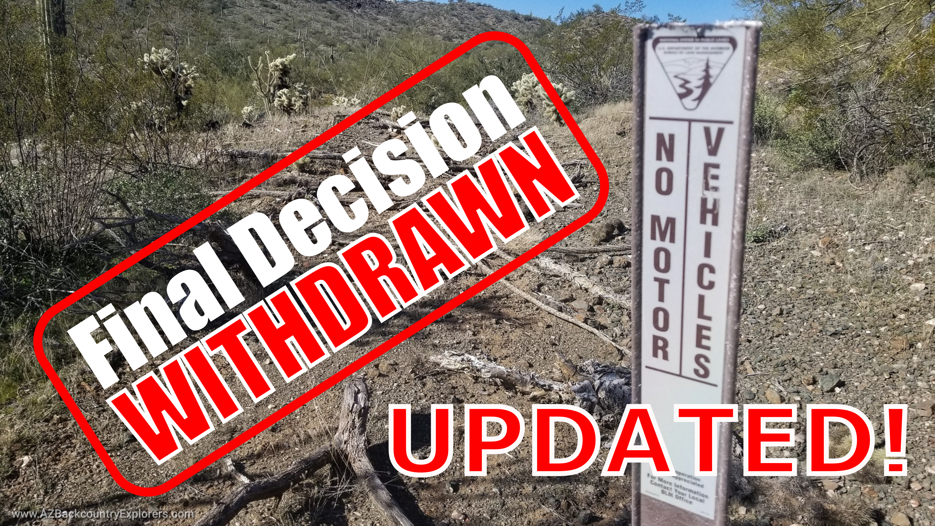


UPDATE March 19, 2023: The Bureau withdrew the proposed plan on February 13, 2023, claiming the entry in the Eplanning website was in error. The Bureau cited a new NEPA # DOI-BLM-AZ-P010_2023-0007-EA. According to the Bureau, the Recreation Area Management Plan does not include an amendment to the Resource Management Plan. Additionally, all comments from the original plan will still be considered.
Phoenix, Arizona -The Bureau of Land Management is seeking comments from the public concerning the revision of the Table Mesa Area Recreation Area Management Plan. The emendation will evaluate the 2010 Table Mesa Recreation Area Environmental Assessment and set the bureau’s objectives for managing recreation in the 11,500-acre project area for the next several years. The project is on the west side of Interstate 17 stretching from New River to Black Canyon City.
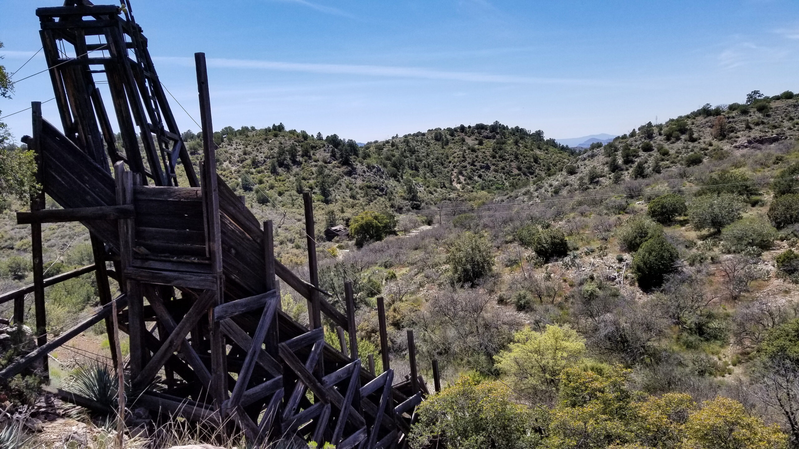
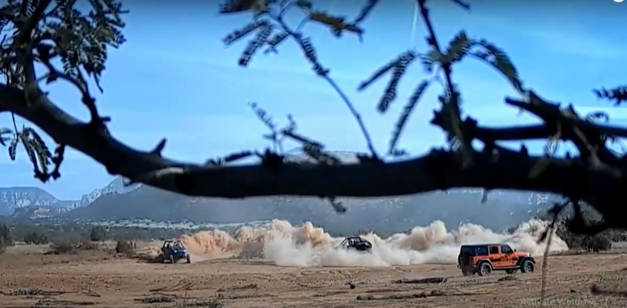
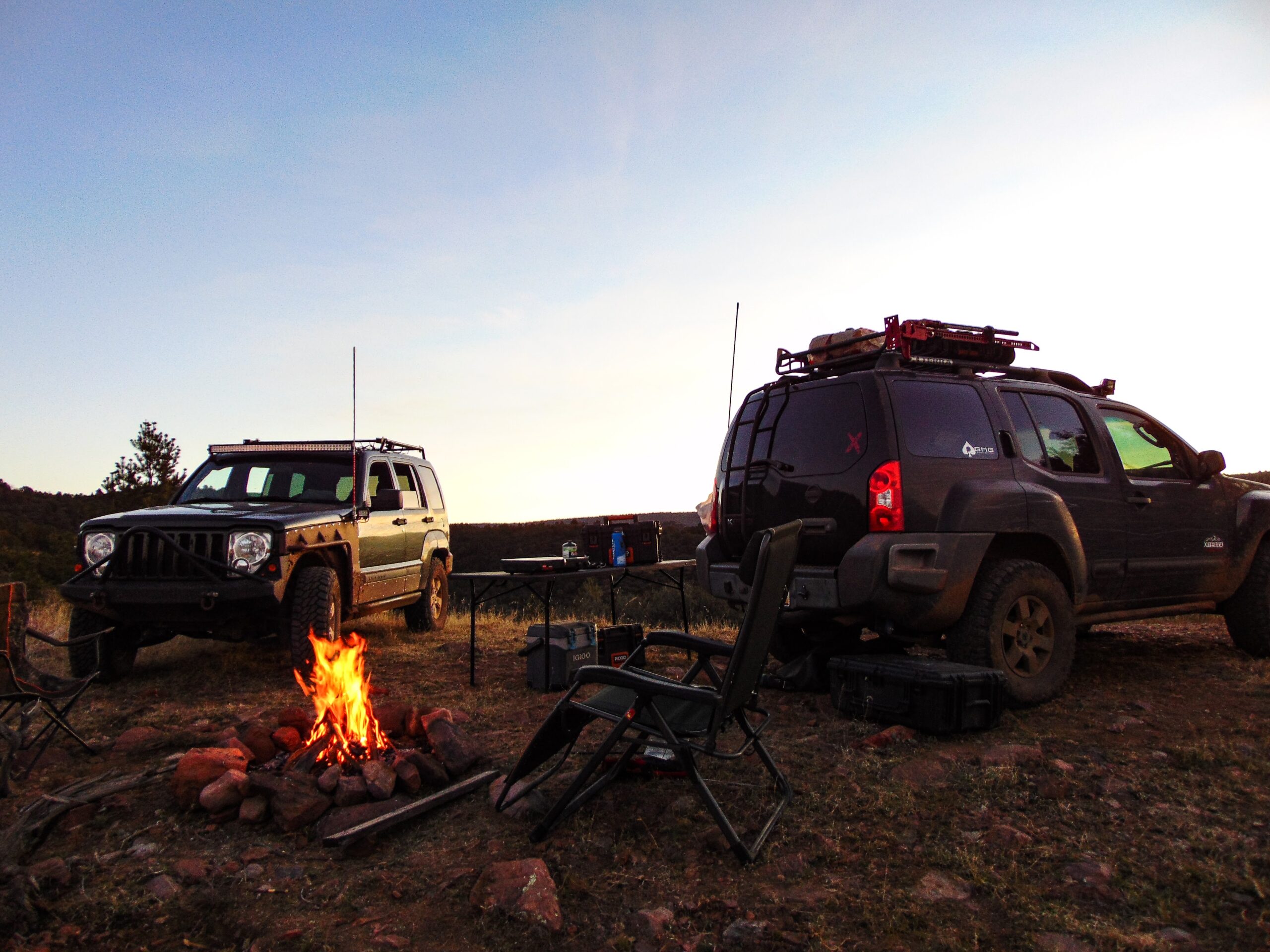
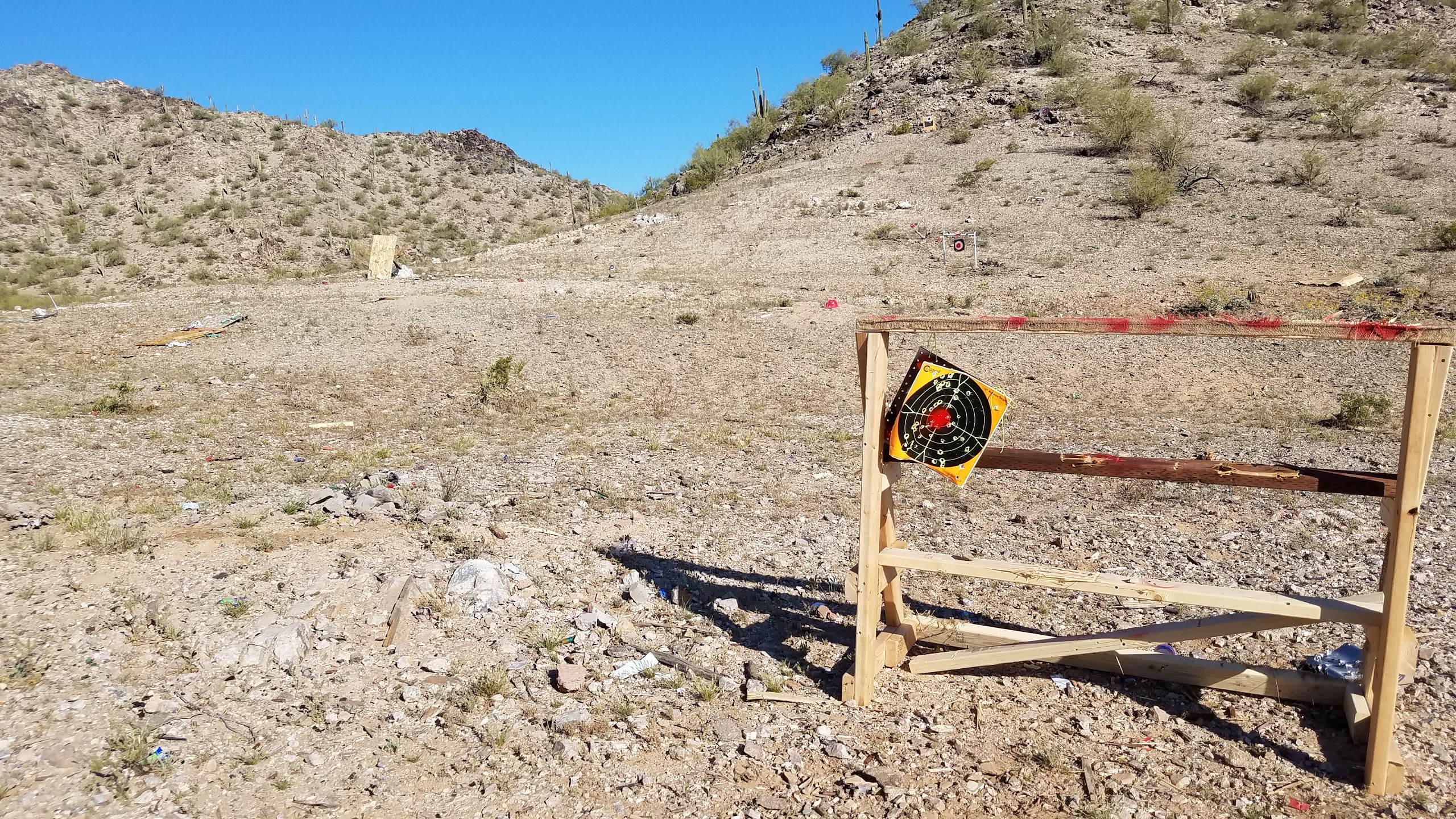
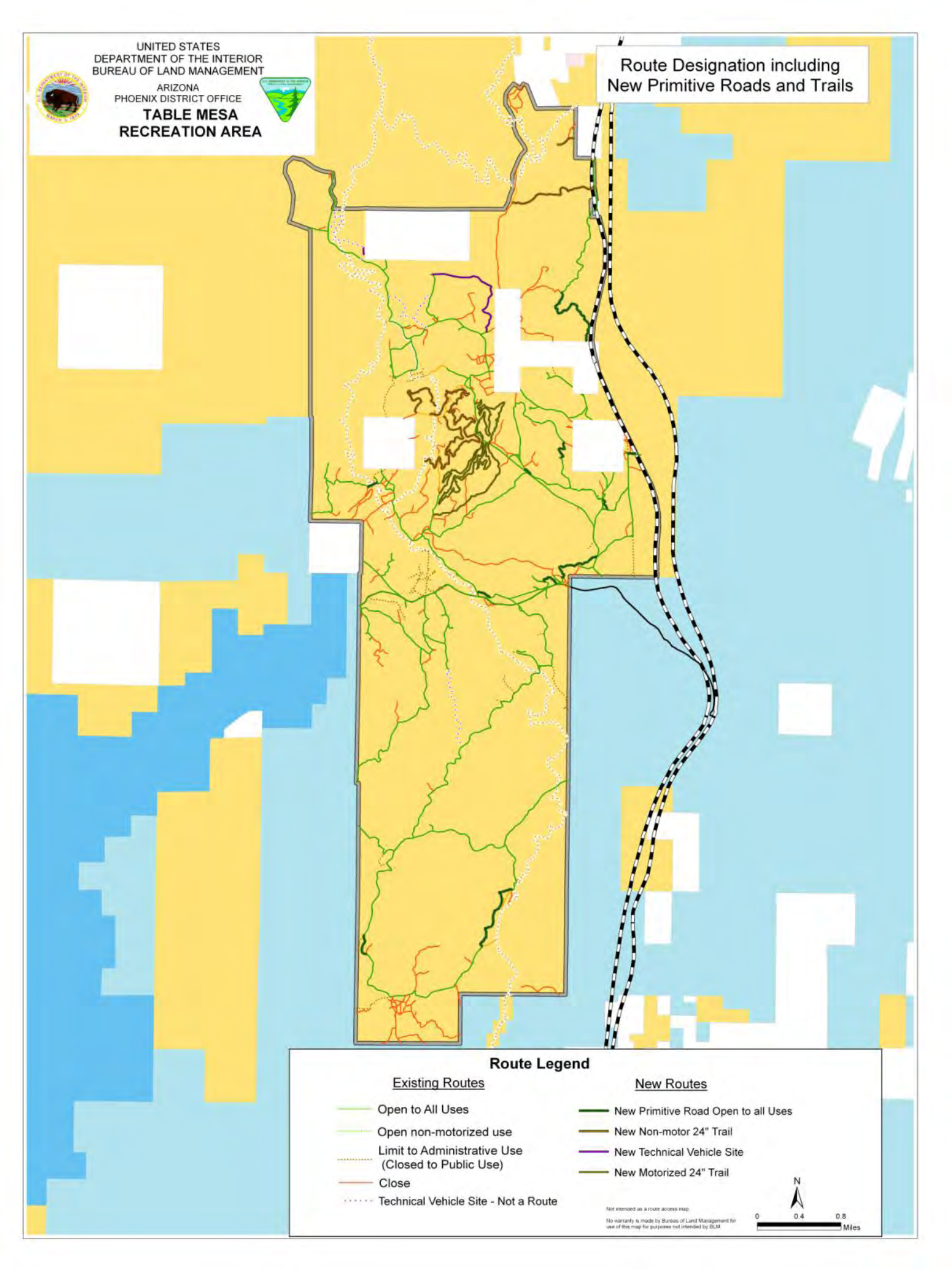
The project area contains multiple technical vehicle trails, target shooting areas, camping areas, staging areas, and river access areas that will be affected by the proposed action.
Direct impact on motorized use of public land
According to the Bureau, “This project will only be analyzing the recreation components of the 2010 Table Mesa Recreation Area… The Travel Management portion of the EA will not be evaluated under this project. There is no RMPA (Resource Management Plan Amendment) associated with this project“
This new proposal will, however, make suggestions for amendments to the current Table Mesa Recreation Management Zone & Travel Management Plan which closed about half of the roads in the project area in June 2010. It will be used as a tool for future restrictions of motorized use, and the activities which motorized users relish.
The project will not designate roads, but rather determine the appropriate recreational use of public lands around Table Mesa road. All recreational activities and areas in the Management Zone will be evaluated and scrutinized over environmental degradation. As a result, the Bureau will establish a framework to manage the area for the next several years, and a proposal will be made available for further public comment.
The decisions made in this proposal will directly dictate the outcome of future Travel Management Planning. Any amendments to a Travel Management Plan will incorporate the desired goals, objectives, and outcomes of the decisions made in this proposed action for all recreational activities. Therefore, it’s important that recreational and motorized users voice their opinion and make substantial comments to establish legal standing to challenge the decision with the Interior Board of Land Appeals.
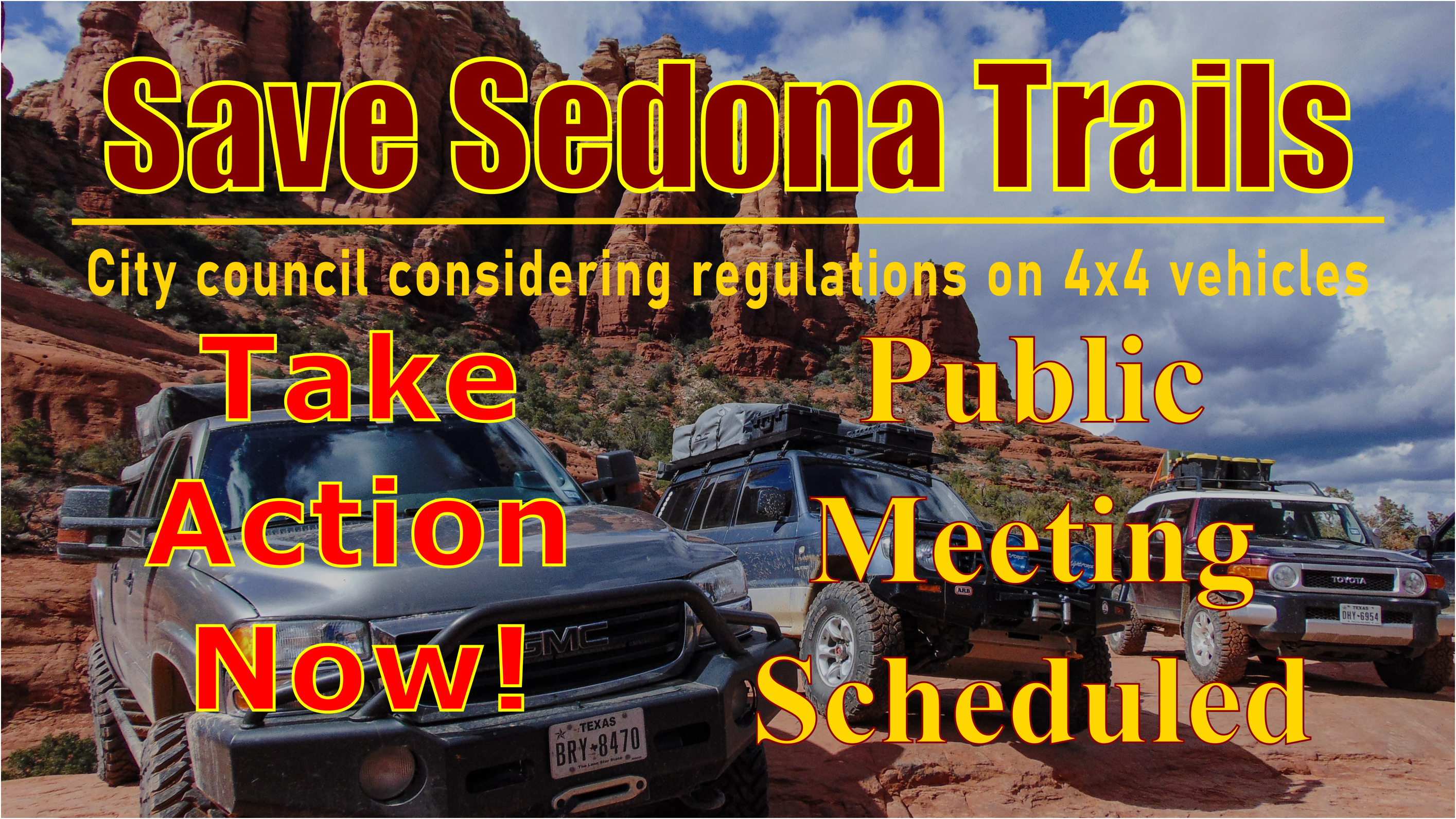
Arizona Backcountry Explorers is concerned that recreational activities like target shooting, camping, and OHV use will be more regulated than it already is.
In April of 2010, the Bureau completed the Bradshaw Harquahala Resource Management Plan which set the goals, objectives, and desired outcomes for over three million acres of public lands stretching from Phoenix to Prescott and to the Harquahala Mountains.
In 2022, the Bureau completed the Black Canyon Corridore Travel Management Plan which closed or restricted the use of 260 miles of roads between Table Mesa road and Cordes Junction. Arizona Backcountry Explorers, the Blueribbon Coalition, the American Mining Rights Association, the Arizona State Association of 4wd Clubs, and the Road Runners Prospectors Club established opposition and forced a withdrawal of the plan.
The Bureau later returned with the final decision addressing multiple concerns highlighted in a detailed analysis submitted by Arizona Backcountry Explorers. In the final decision, the Bureau approved 16 of 18 rock crawling trails introduced by the Arizona Undertaker 4×4 Club in 2014. In addition, the Bureau fixed multiple route designations highlighted in our report that conflicted with adjacent National Forest management plans and Motor Vehicle Use Maps.
View the project area
[leaflet-map lat=33.98833842515542 lng=-112.14345932006836 zoom=12]
[leaflet-geojson src=”https://www.azbackroads.com/maps/shapefiles/table-mesa-project-area.geojson” color=”green” fillColor=”transparent” popup_text=”Project Area” attribution=”Arizona Backcountry Explorers, Open Street Maps, Leaflet”]
Take Action
We have made it easy to send your comments on the proposed action. Use the form below to send your comments to the Bureau via email. Your comments will be made part of the public record and will be counted towards the official project.
You are encouraged to send significant comments on issues to consider and concerns related to the Table Mesa area.
A virtual public meeting to discuss this proposal is scheduled for Wednesday, January 18 at 5:30 p.m
Interested parties need to register for the meeting.